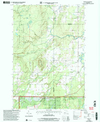
1999 Map of Pelkie
USGS Topo · Published 2004About this map
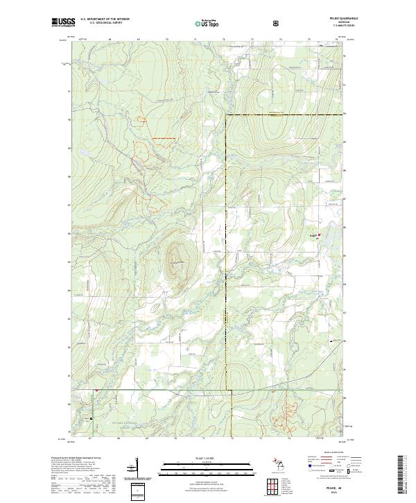
Limestone Mountain rises as a prominent landmark above the surrounding forest and wetland terrain of Baraga and Houghton counties. This late-twentieth-century landscape is defined by its extensive timberlands, split between the Copper Country State Forest in the northwest and the Ottawa National Forest to the south. Small rural settlements like Pelkie, Hazel, and Alston are connected by a network of backroads such as Hoover Road, showing the persistent but sparse residential patterns of the Upper Peninsula.
Find a feature on this map
20 named features on this map. Tap any name to fly to it.
Don’t see what you’re looking for? This feature index may not catch every label — zoom into the map to look around manually.
Map Details
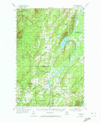
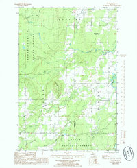
Editions of this 1999 Pelkie Map
This is the sole edition of this map. No revisions or reprints were ever made.
Historical Maps of Laird Township Through Time
8 maps found
Featured Locations
- Laird Township, MI
- Portage Township, MI
- Baraga Township, MI
- Pelkie, Baraga Township
- Elo, Portage Township