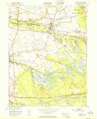
1951 Map of Pemberton
USGS Topo · Published 1951About this map
The North Branch Rancocas Creek and its southern counterpart carve through this 1951 landscape, defining a region where early industrial sites and rural settlements sit alongside a growing military presence. Local industry is evidenced by the Brick Kilns near Birmingham, while the southern reaches of the Fort Dix Military Reservation dominate the northeast. This era shows a community infrastructure comprised of the Newcomb Chest Hosp, a County Hospital, and the Oak Grove Ch.
Find a feature on this map
47 named features on this map. Tap any name to fly to it.
Don’t see what you’re looking for? This feature index may not catch every label — zoom into the map to look around manually.
Map Details
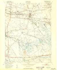
Editions of this 1951 Pemberton Map
2 editions found
Other maps of this area

1888 · Bordentown
USGS Topo · 1:62,500

1888 · Pemberton
USGS Topo · 1:62,500

1888 · Mount Holly
USGS Topo · 1:62,500

1890 · Burlington
USGS Topo · 1:62,500

1893 · Bordentown
USGS Topo · 1:62,500

1893 · Burlington
USGS Topo · 1:62,500

1894 · Pemberton
USGS Topo · 1:62,500

1894 · Mount Holly
USGS Topo · 1:62,500

1898 · Pemberton
USGS Topo · 1:62,500

1898 · Mount Holly
USGS Topo · 1:62,500
Featured Places
- Southampton Township, NJ
- Tabernacle Township, NJ
- Eastampton Township, NJ
- Springfield Township, NJ
- Pemberton, NJ