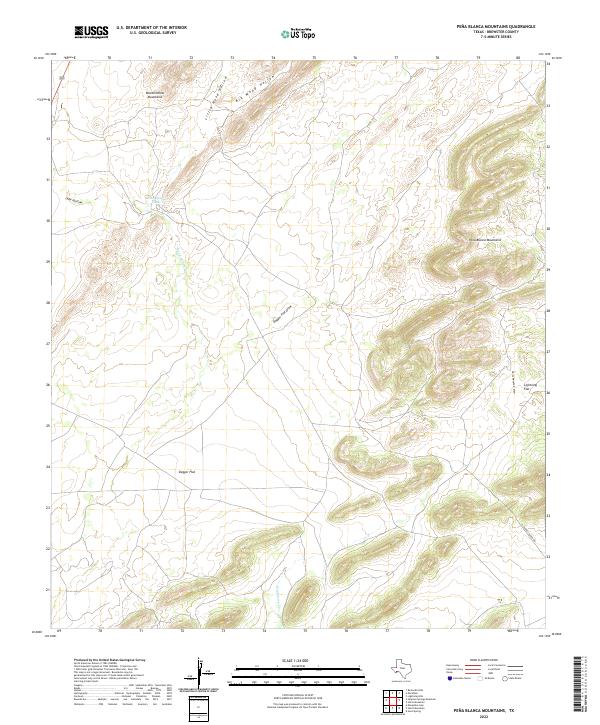
2022 Map of Pena Blanca Mountains
USGS Topo · Published 2022About this map
The Peña Blanca Mountains define the eastern reach of this high-desert landscape in Brewster County. This region is characterized by significant topographical relief, where the steep ridgelines of the Wood Hollow Mountains transition into the expansive basin of Dagger Flat. Water management in this arid environment is evident through features like the Wood Hollow Tank and the seasonal drainage patterns of Wood Hollow Cr and Hackberry Cr. The presence of Chaney Ranch Rd in the southeastern corner provides the primary modern access point to this territory. Sparse but definitive, the naming of features such as Lightning Flat and Dagger Flat Draw reflects the enduring ranching and geographical nomenclature of the Big Bend region.
Find a feature on this map
13 named features on this map. Tap any name to fly to it.
Don’t see what you’re looking for? This feature index may not catch every label — zoom into the map to look around manually.
Map Details
Editions of this 2022 Pena Blanca Mountains Map
This is the sole edition of this map. No revisions or reprints were ever made.
Other maps of this area

1917 · Santiago Peak
USGS Topo · 1:62,500

1917 · Hood Spring
USGS Topo · 1:62,500

1918 · Bone Spring
USGS Topo · 1:125,000

1918 · Hood Spring
USGS Topo · 1:62,500

1918 · Santiago Peak
USGS Topo · 1:62,500

1920 · Monument Spring
USGS Topo · 1:62,500

1920 · Marathon
USGS Topo · 1:62,500

1921 · Monument Spring
USGS Topo · 1:62,500

1921 · Marathon
USGS Topo · 1:62,500

1931 · Hood Spring
USGS Topo · 1:62,500