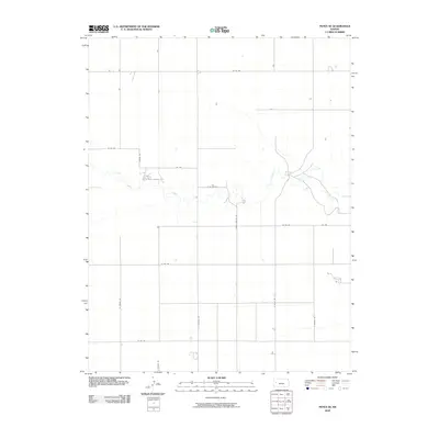
2009 Map of Pence SE
USGS Topo · Published 2009About this map
Ladder Creek provides the primary natural relief in this otherwise systematically partitioned landscape of western Kansas. The watercourse meanders through the central portion of the quadrangle, breaking the rigid geometry of the section lines and rural road network. This grid, defined by routes such as Apache Rd, North Dakota Rd, and N Falcon Rd, reflects the expansive agricultural layout of Scott County. The settlement pattern is sparse, characterized by isolated farmsteads connected by long, straight thoroughfares like W Rd 210 and W Rd 170. The transition from the high plains plateau down toward the creek bed shows the subtle elevation changes that dictated the early placement of homesteads and water access in this semi-arid region.
Find a feature on this map
16 named features on this map. Tap any name to fly to it.
Don’t see what you’re looking for? This feature index may not catch every label — zoom into the map to look around manually.
Map Details
Editions of this 2009 Pence SE Map
This is the sole edition of this map. No revisions or reprints were ever made.
Other maps of this area

1939 · Lake Mc Bride
USGS Topo · 1:24,000

1939 · Sandon
USGS Topo · 1:62,500

1939 · Pence
USGS Topo · 1:62,500

1940 · Scott City
USGS Topo · 1:62,500

1941 · Modoc
USGS Topo · 1:62,500

1941 · Pence
USGS Topo · 1:62,500

1942 · Sandon
USGS Topo · 1:62,500

1942 · Lake Mc Bride
USGS Topo · 1:31,680

1951 · Scott City
USGS Topo · 1:62,500

1951 · Modoc
USGS Topo · 1:62,500