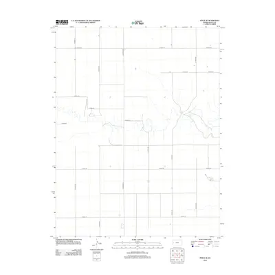
2012 Map of Pence SE
USGS Topo · Published 2012About this map
Scott County's rural landscape is defined by a rigid section-line road grid in this 2012 survey of the Pence SE quadrangle. The agricultural character of the High Plains is evident through the systematic layout of routes such as N Apache Rd, N Beaver Rd, and N Cherokee Rd, which segment the terrain into uniform blocks. Significant drainage patterns cut across this geometric order, particularly between W Road 210 and W Road 190, where natural draws break the flat horizon. Occasional isolated structures and small catchments are found along the secondary arteries like N Eagle Rd and N Falcon Rd, representing the sparse but resilient settlement pattern of western Kansas. This map provides a precise look at the modern rural infrastructure required to maintain the region's vast farming operations.
Find a feature on this map
14 named features on this map. Tap any name to fly to it.
Don’t see what you’re looking for? This feature index may not catch every label — zoom into the map to look around manually.
Map Details
Editions of this 2012 Pence SE Map
This is the sole edition of this map. No revisions or reprints were ever made.
Other maps of this area

1939 · Lake Mc Bride
USGS Topo · 1:24,000

1939 · Sandon
USGS Topo · 1:62,500

1939 · Pence
USGS Topo · 1:62,500

1940 · Scott City
USGS Topo · 1:62,500

1941 · Modoc
USGS Topo · 1:62,500

1941 · Pence
USGS Topo · 1:62,500

1942 · Sandon
USGS Topo · 1:62,500

1942 · Lake Mc Bride
USGS Topo · 1:31,680

1951 · Scott City
USGS Topo · 1:62,500

1951 · Modoc
USGS Topo · 1:62,500