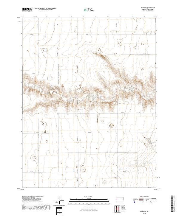
2022 Map of Pence SE
USGS Topo · Published 2022About this map
High plains topography and a strict grid of section lines define this Scott County landscape. The terrain is bifurcated by a significant drainage system that creates deep, branching draws across the center of the sheet, providing a sharp contrast to the level agricultural plateaus found near W Rd 240 and W Rd 170. This rural expanse is mapped through its essential road network, where routes like N Beaver Rd and N Cherokee Rd serve as the primary conduits between scattered farmsteads. The lack of concentrated settlements highlights the large-scale land use patterns typical of this era in western Kansas, where transportation is dictated by names like N Apache Rd and North Dakota Rd. Researchers can trace the exact section boundaries within t17s r34w and surrounding townships, observing how local infrastructure conforms to the ancient survey grid.
Find a feature on this map
22 named features on this map. Tap any name to fly to it.
Don’t see what you’re looking for? This feature index may not catch every label — zoom into the map to look around manually.
Map Details
Editions of this 2022 Pence SE Map
This is the sole edition of this map. No revisions or reprints were ever made.
Other maps of this area

1939 · Lake Mc Bride
USGS Topo · 1:24,000

1939 · Sandon
USGS Topo · 1:62,500

1939 · Pence
USGS Topo · 1:62,500

1940 · Scott City
USGS Topo · 1:62,500

1941 · Modoc
USGS Topo · 1:62,500

1941 · Pence
USGS Topo · 1:62,500

1942 · Sandon
USGS Topo · 1:62,500

1942 · Lake Mc Bride
USGS Topo · 1:31,680

1951 · Scott City
USGS Topo · 1:62,500

1951 · Modoc
USGS Topo · 1:62,500