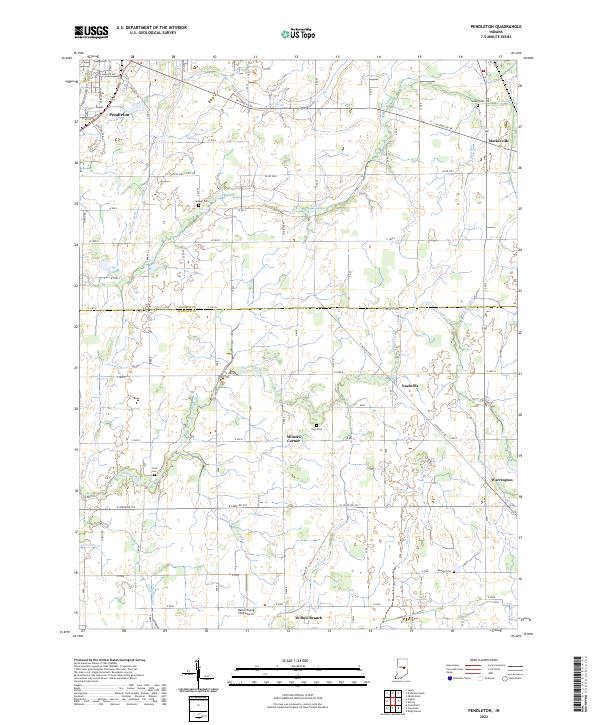
2022 Map of Pendleton
USGS Topo · Published 2022About this map
The agricultural plains where Madison and Hancock counties meet are defined by an intricate network of drainage ditches and creeks. Settled areas like Pendleton and Markleville anchor the northern reaches of the map, while smaller communities such as Milners Corner, Warrington, and Willow Branch punctuate the southern landscape. The terrain is relatively flat, necessitating the extensive water management seen in Manifold Ditch, Dunwoody Ditch, and March and Trees Ditch, which redirect flow toward Sugar Creek.
Find a feature on this map
52 named features on this map. Tap any name to fly to it.
Don’t see what you’re looking for? This feature index may not catch every label — zoom into the map to look around manually.
Map Details
Editions of this 2022 Pendleton Map
This is the sole edition of this map. No revisions or reprints were ever made.
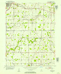
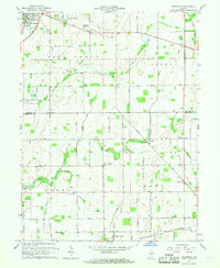
Historical Maps of Warrington Through Time
3 maps found