Old Maps of Markleville, Indiana
Explore 16 old maps of Markleville, spanning from 1953 to today. These high-resolution historic maps reveal how streets, neighborhoods, landmarks, and natural features evolved over time — perfect for genealogy, metal detecting, research, and local history exploration.
What you can do with these maps:
- See how Markleville changed over time: Compare historical maps to modern-day views to trace roads, homesites, rail lines & more.
- View detailed metadata: Each map includes creators, publishers, year, scale, and archive source.
- Overlay maps with satellite & LiDAR: Visualize the past alongside modern tools to explore terrain & human change.
- Trusted historical sources: Maps sourced from the USGS, Library of Congress, and other archives.
- Access maps your way: View online, download high-res files, or order prints for personal or research use.
Start exploring old maps of Markleville to uncover forgotten places, hidden landmarks, and the deep history beneath your feet.
Markleville, IN maps
(16)- 1953 Map of Pendleton, 1954 Print
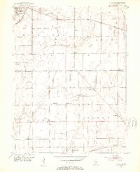 1953 Pendleton1954 Print · USGSThe rural borderlands of Madison and Hancock Counties are meticulously documented here in the early fifties. Researchers can trace family history through numerous rural landmarks like Bunker Cem, Sugar Grove Ch, and the small community at Warrington.2 unique versions available
 - 1953 Map of Cincinnati, 1965 Print
 1953 Cincinnati1965 Print · USGSThe Ohio River valley and the industrial heartland of Indiana and Ohio are captured here during the mid-century peak of rail and river commerce. Genealogists and historians can trace connections between Cincinnati and outlying military sites like Camp Atterbury and Bakalar AFB.3 unique versions available
 - 1957 Map of Cincinnati
 1957 Cincinnati1957 Print · USGSThe Ohio River valley and its surrounding highlands thrived during the mid-fifties industrial peak, centered on the bustling Cincinnati and Dayton metropolitan hubs. Researchers can trace the extensive rail networks and military sites like Wright-Patterson AFB and Camp Atterbury.
 - 1960 Map of Shirley, 1961 Print
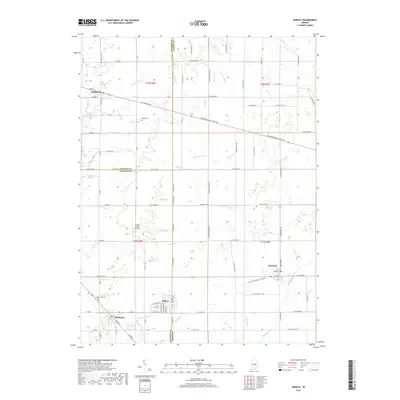
 1960 Shirley1961 Print · USGSEast-central Indiana farmland is captured here in the early sixties, centered on the tri-county junction where Shirley meets the NEW YORK CENTRAL line. Local historians can trace family-named landmarks and rural hubs like McCray Cem, Harlan Ch, and the Township High Sch.2 unique versions available
 - 1966 Map of Pendleton, 1968 Print
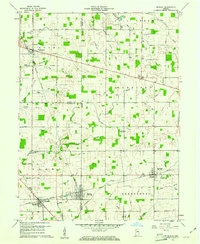
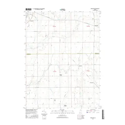
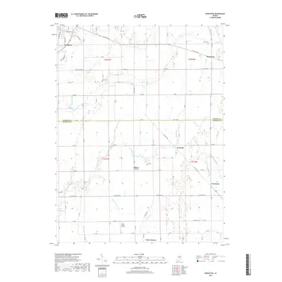
 1966 Pendleton1968 Print · USGSMadison and Hancock Counties are captured here in the mid-1960s, showing a landscape of small crossroads settlements and family farms. Trace local history through landmarks like Milners Corner, the Zion Chapel, and old family plots like Cook Cem.
 - 1986 Map of New Castle
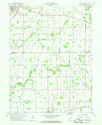
 1986 New Castle1986 Print · USGSEast Central Indiana remains a patchwork of thriving county seats and rail-side hamlets in the mid-eighties. Genealogists and historians can locate family landmarks such as East Hill Cemetery, Little Blue River Church, and the transit lines of the CONRAIL railroad.2 unique versions available
 - 2010 Map of Shirley, 2010 Print
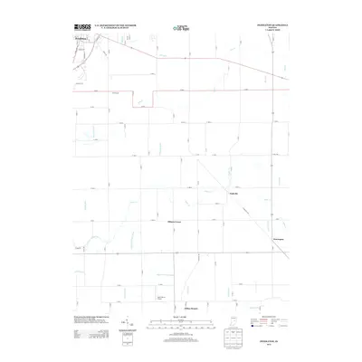
 2010 Shirley2010 Print · USGSCovers Markleville, including Kennard, Wilkinson, and other nearby areas
 - 2010 Map of Pendleton, 2010 Print
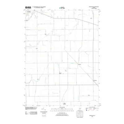 2010 Pendleton2010 Print · USGSCovers Markleville, including Pendleton, Milners Corner, and other nearby areas
 - 2013 Map of Shirley, 2013 Print
 2013 Shirley2013 Print · USGSCovers Markleville, including Kennard, Wilkinson, and other nearby areas
 - 2013 Map of Pendleton, 2013 Print
 2013 Pendleton2013 Print · USGSCovers Markleville, including Pendleton, Milners Corner, and other nearby areas
 - 2016 Map of Shirley, 2016 Print
 2016 Shirley2016 Print · USGSCovers Markleville, including Kennard, Wilkinson, and other nearby areas
 - 2016 Map of Pendleton, 2016 Print
 2016 Pendleton2016 Print · USGSCovers Markleville, including Pendleton, Milners Corner, and other nearby areas
 - 2019 Map of Shirley, 2019 Print
 2019 Shirley2019 Print · USGSCovers Markleville, including Kennard, Wilkinson, and other nearby areas
 - 2019 Map of Pendleton, 2019 Print
 2019 Pendleton2019 Print · USGSCovers Markleville, including Pendleton, Milners Corner, and other nearby areas
 - 2022 Map of Shirley, 2022 Print
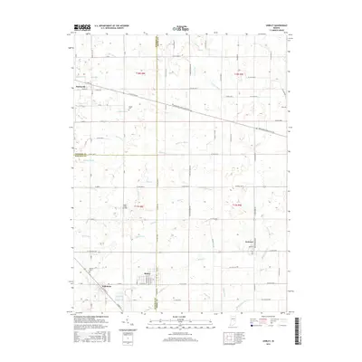
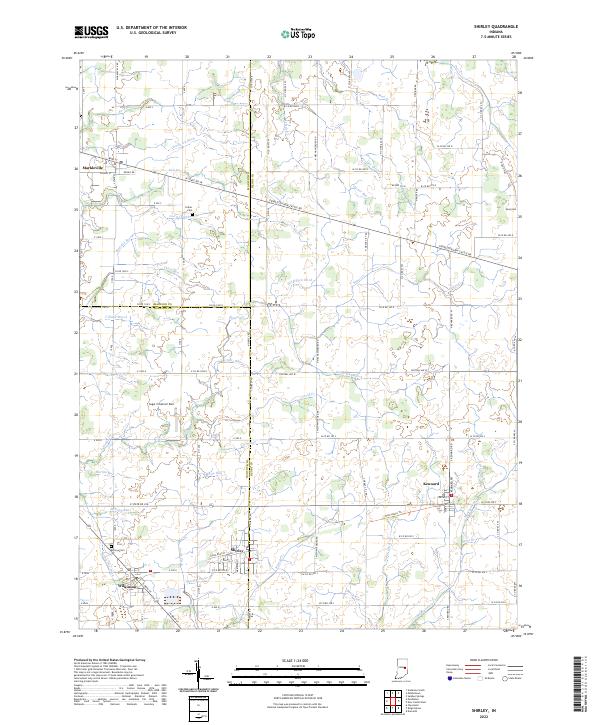 2022 Shirley2022 Print · USGSEastern Indiana farmlands and small-town junctions come alive in this contemporary record of the region. Local researchers can trace family plots at Hess Cem or explore the drainage networks of Village Brook and Sixmile Cr.
 - 2022 Map of Pendleton, 2022 Print
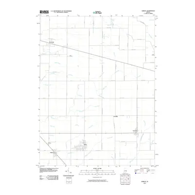
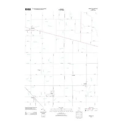
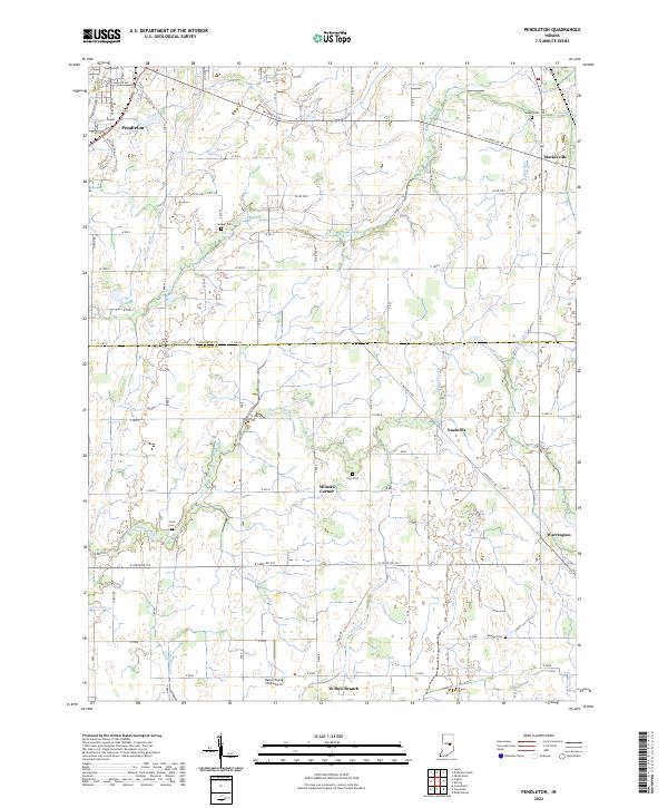 2022 Pendleton2022 Print · USGSThe borderlands of Madison and Hancock counties appear here in the early twenty-first century, showing a landscape of productive farmland and small crossroads communities. Genealogists can locate several rural burial grounds such as Walker Cemetery and Cook Cemetery, or trace the paths of Sugar Creek and Manifold Ditch.
End of results
Showing maps 1-16 of 16
Top cities near Markleville
- Muncie historical maps
- Anderson historical maps
- New Castle historical maps
- Greenfield historical maps
- Yorktown historical maps
- Pendleton historical maps
See more
Frequently asked questions
- What are the different types of historical maps available for Markleville?
- What is the oldest map of Markleville?
- Where can I purchase historical maps of Markleville for my home or office?
- Where can I download high-res historical maps of Markleville?
- Are there historical topographic maps available for Markleville?
- Is there historical aerial imagery available for Markleville?
- Where are historical maps of Markleville sourced from?