2000s (21st Century) Maps of Markleville, Indiana
Explore 10 historic maps of Markleville from the 2000s (21st Century). These maps offer a rare glimpse into what life looked like during the 2000s — showing old roads, neighborhoods, homes, and landmarks that have changed or disappeared over time.
Whether you're researching your family's past, planning a metal detecting trip, or studying how Markleville's landscape evolved across the 2000s, these high-resolution maps are a powerful tool for exploring the history of this region.
- Focus on a specific era: All maps on this page are from the 2000s, giving you a focused view of this time period.
- See what’s changed: Compare century-old streets, trails, and buildings to today's modern landscape using overlays and satellite layers.
- Research with precision: Use these maps for genealogy, historical research, land use analysis, or educational projects.
- View, download, or print: Maps are fully viewable online in high resolution, and can be downloaded or printed for your own records.
Start exploring Markleville's history through authentic maps from the 2000s. This is your window into the past.
Markleville, IN maps
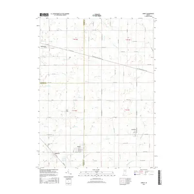
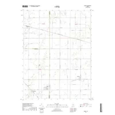
(10)- 2010 Map of Shirley, 2010 Print
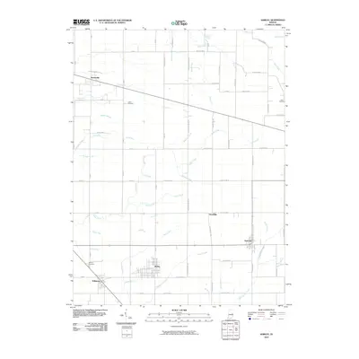 2010 Shirley2010 Print · USGSCovers Markleville, including Kennard, Wilkinson, and other nearby areas
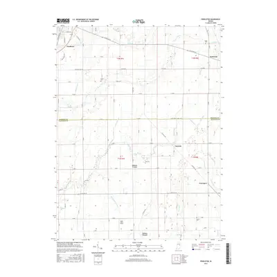
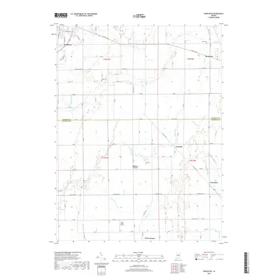
 - 2010 Map of Pendleton, 2010 Print
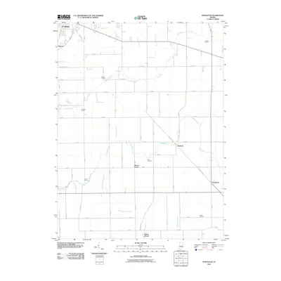 2010 Pendleton2010 Print · USGSCovers Markleville, including Pendleton, Milners Corner, and other nearby areas
 - 2013 Map of Shirley, 2013 Print
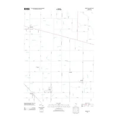 2013 Shirley2013 Print · USGSCovers Markleville, including Kennard, Wilkinson, and other nearby areas
 - 2013 Map of Pendleton, 2013 Print
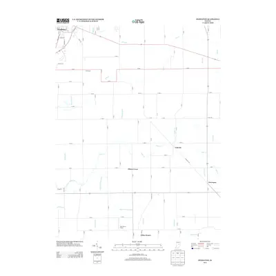 2013 Pendleton2013 Print · USGSCovers Markleville, including Pendleton, Milners Corner, and other nearby areas
 - 2016 Map of Shirley, 2016 Print
 2016 Shirley2016 Print · USGSCovers Markleville, including Kennard, Wilkinson, and other nearby areas
 - 2016 Map of Pendleton, 2016 Print
 2016 Pendleton2016 Print · USGSCovers Markleville, including Pendleton, Milners Corner, and other nearby areas
 - 2019 Map of Shirley, 2019 Print
 2019 Shirley2019 Print · USGSCovers Markleville, including Kennard, Wilkinson, and other nearby areas
 - 2019 Map of Pendleton, 2019 Print
 2019 Pendleton2019 Print · USGSCovers Markleville, including Pendleton, Milners Corner, and other nearby areas
 - 2022 Map of Shirley, 2022 Print
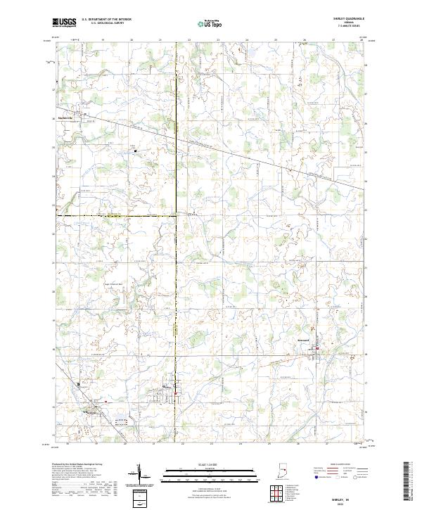 2022 Shirley2022 Print · USGSEastern Indiana farmlands and small-town junctions come alive in this contemporary record of the region. Local researchers can trace family plots at Hess Cem or explore the drainage networks of Village Brook and Sixmile Cr.
 - 2022 Map of Pendleton, 2022 Print
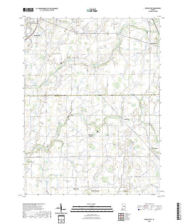 2022 Pendleton2022 Print · USGSThe borderlands of Madison and Hancock counties appear here in the early twenty-first century, showing a landscape of productive farmland and small crossroads communities. Genealogists can locate several rural burial grounds such as Walker Cemetery and Cook Cemetery, or trace the paths of Sugar Creek and Manifold Ditch.
End of results
Showing maps 1-10 of 10
Top cities near Markleville
- Muncie historical maps
- Anderson historical maps
- New Castle historical maps
- Greenfield historical maps
- Yorktown historical maps
- Pendleton historical maps
See more
Frequently asked questions
- What are the different types of historical maps available for Markleville?
- What is the oldest map of Markleville?
- Where can I purchase historical maps of Markleville for my home or office?
- Where can I download high-res historical maps of Markleville?
- Are there historical topographic maps available for Markleville?
- Is there historical aerial imagery available for Markleville?
- Where are historical maps of Markleville sourced from?