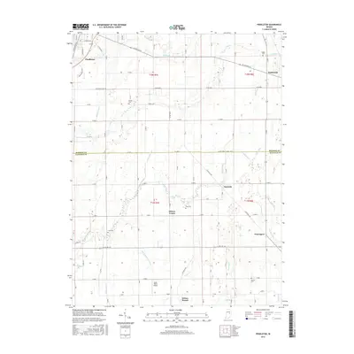
2016 Map of Pendleton
USGS Topo · Published 2016About this map
Pendleton and Markleville anchor the northern landscape of this Madison and Hancock County border region. The area is defined by a dense network of drainage systems and agricultural waterways, including Spring Br, Lick Cr, and the extensive March and Trees Ditch. These watercourses reveal the long-standing efforts to manage the Central Indiana plains for cultivation. Scattered settlements like Milners Corner, Warrington, and Nashville represent the historical rural hubs of the 20th century, often centered around family-named landmarks. Genealogists will find significant value in the distribution of local burial grounds such as Walker Cem, Bunker Cem, and Cook Cem. Transport patterns are visible in the junction of W State Rd 38 and E State Rd 234, while the Sauer-Harter Airport provides a modern navigational reference point amidst the grid of country roads.
Find a feature on this map
57 named features on this map. Tap any name to fly to it.
Don’t see what you’re looking for? This feature index may not catch every label — zoom into the map to look around manually.
Map Details
Editions of this 2016 Pendleton Map
This is the sole edition of this map. No revisions or reprints were ever made.
Other maps of this area

1952 · Greenfield
USGS Topo · 1:24,000

1952 · Ingalls
USGS Topo · 1:24,000

1952 · Anderson
USGS Topo · 1:24,000

1953 · Pendleton
USGS Topo · 1:24,000

1953 · Lapel
USGS Topo · 1:24,000

1953 · Cincinnati
USGS Topo · 1:250,000

1953 · Muncie
USGS Topo · 1:250,000

1956 · Muncie
USGS Topo · 1:250,000

1956 · Cleveland
USGS Topo · 1:24,000

1957 · Cincinnati
USGS Topo · 1:250,000