Old Maps of Greenfield, Indiana
Explore 16 old maps of Greenfield, spanning from 1952 to today. These high-resolution historic maps reveal how streets, neighborhoods, landmarks, and natural features evolved over time — perfect for genealogy, metal detecting, research, and local history exploration.
What you can do with these maps:
- See how Greenfield changed over time: Compare historical maps to modern-day views to trace roads, homesites, rail lines & more.
- View detailed metadata: Each map includes creators, publishers, year, scale, and archive source.
- Overlay maps with satellite & LiDAR: Visualize the past alongside modern tools to explore terrain & human change.
- Trusted historical sources: Maps sourced from the USGS, Library of Congress, and other archives.
- Access maps your way: View online, download high-res files, or order prints for personal or research use.
Start exploring old maps of Greenfield to uncover forgotten places, hidden landmarks, and the deep history beneath your feet.
Greenfield, IN maps
(16)- 1952 Map of Greenfield, 1953 Print
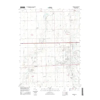
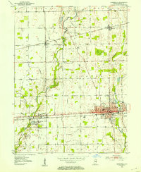 1952 Greenfield1953 Print · USGSHancock County was a thriving agricultural and rail hub in the early fifties, centered on the growing seat of Greenfield. Local historians can trace old property lines near Mohawk and locate several small rural burial sites like Reeves Cem and Sugar Creek Cem.
 - 1953 Map of Cincinnati, 1965 Print
 1953 Cincinnati1965 Print · USGSThe Ohio River valley and the industrial heartland of Indiana and Ohio are captured here during the mid-century peak of rail and river commerce. Genealogists and historians can trace connections between Cincinnati and outlying military sites like Camp Atterbury and Bakalar AFB.3 unique versions available
 - 1956 Map of Cleveland, 1957 Print
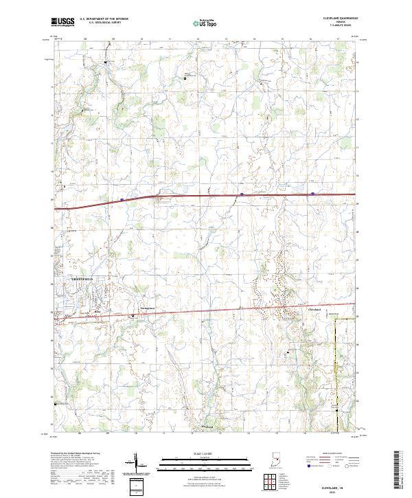
 1956 Cleveland1957 Print · USGSHancock County farmland and small crossroads settlements are captured here in the mid-fifties along the historic National Road. Genealogists and local historians can locate several family cemeteries, including Pratt Cem and Hinchman Cem, alongside landmarks like Curry Chapel and Pope Airfield.2 unique versions available
 - 1957 Map of Cincinnati
 1957 Cincinnati1957 Print · USGSThe Ohio River valley and its surrounding highlands thrived during the mid-fifties industrial peak, centered on the bustling Cincinnati and Dayton metropolitan hubs. Researchers can trace the extensive rail networks and military sites like Wright-Patterson AFB and Camp Atterbury.
 - 1962 Map of Greenfield, 1964 Print
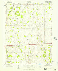
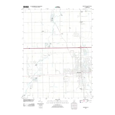
 1962 Greenfield1964 Print · USGSGreenfield and central Hancock County are shown in the early sixties as the regional rail and road networks reached their mid-century peak. Genealogists can trace family landmarks and rural life through Nazarene Ch, Philadelphia, and the Owen Cem.5 unique versions available
 - 1986 Map of New Castle
 1986 New Castle1986 Print · USGSEast Central Indiana remains a patchwork of thriving county seats and rail-side hamlets in the mid-eighties. Genealogists and historians can locate family landmarks such as East Hill Cemetery, Little Blue River Church, and the transit lines of the CONRAIL railroad.2 unique versions available
 - 2010 Map of Cleveland, 2010 Print
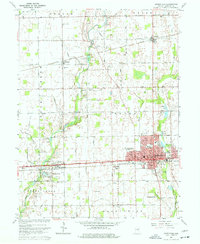
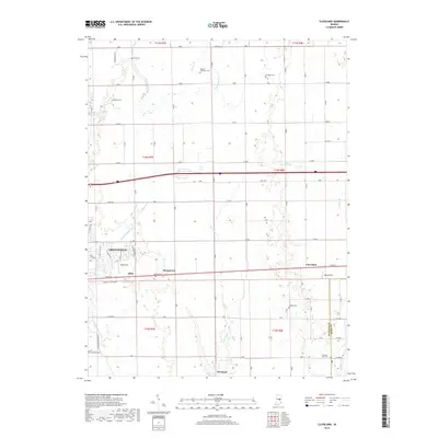
 2010 Cleveland2010 Print · USGSCovers Greenfield, including Cleveland, Westland, and other nearby areas
 - 2010 Map of Greenfield, 2010 Print
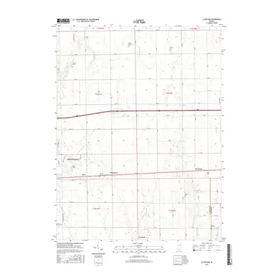
 2010 Greenfield2010 Print · USGSCovers Greenfield, including Spring Lake, Maxwell, and other nearby areas
 - 2013 Map of Greenfield, 2013 Print
 2013 Greenfield2013 Print · USGSCovers Greenfield, including Spring Lake, Maxwell, and other nearby areas
 - 2013 Map of Cleveland, 2013 Print
 2013 Cleveland2013 Print · USGSCovers Greenfield, including Cleveland, Westland, and other nearby areas
 - 2016 Map of Greenfield, 2016 Print
 2016 Greenfield2016 Print · USGSCovers Greenfield, including Spring Lake, Maxwell, and other nearby areas
 - 2016 Map of Cleveland, 2016 Print
 2016 Cleveland2016 Print · USGSCovers Greenfield, including Cleveland, Westland, and other nearby areas
 - 2019 Map of Greenfield, 2019 Print
 2019 Greenfield2019 Print · USGSCovers Greenfield, including Spring Lake, Maxwell, and other nearby areas
 - 2019 Map of Cleveland, 2019 Print
 2019 Cleveland2019 Print · USGSCovers Greenfield, including Cleveland, Westland, and other nearby areas
 - 2022 Map of Cleveland, 2022 Print
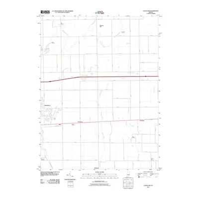
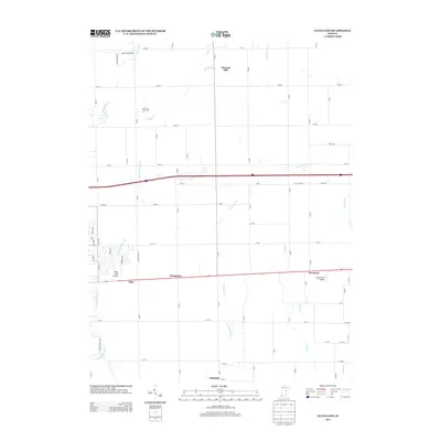
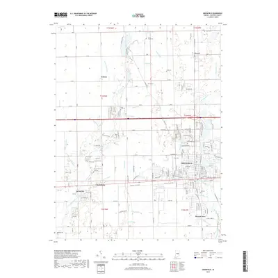
 2022 Cleveland2022 Print · USGSHancock County is shown here in the early 2020s, featuring the intersection of rural heritage and suburban growth east of Indianapolis. Genealogists and historians can locate numerous small burial sites like Baptist Braddock Cem and Gilboa Cem near the historic Cleveland and Stringtown settlements.
 - 2022 Map of Greenfield, 2022 Print
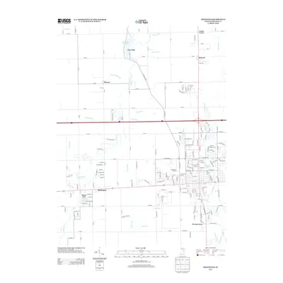
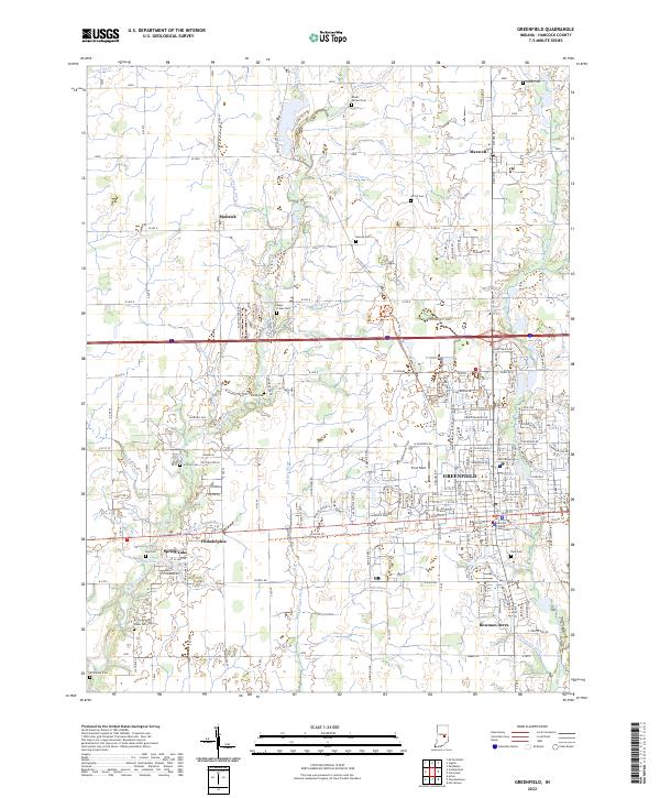 2022 Greenfield2022 Print · USGSHancock County enters the 2020s as a blend of growing suburban centers and traditional Indiana farmland. Researchers can trace family roots through several local burial sites like Sugar Creek Cem and Park Cem or explore the civic core near the Hancock County Courthouse.
End of results
Showing maps 1-16 of 16
Top cities near Greenfield
- Indianapolis historical maps
- Fishers historical maps
- Noblesville historical maps
- Lawrence historical maps
- Shelbyville historical maps
- Pendleton historical maps
See more
Top neighborhoods of Greenfield
- Riley historical maps
- Bowman Acres historical maps
- Greenfield Courthouse Square Historic District historical maps
Frequently asked questions
- What are the different types of historical maps available for Greenfield?
- What is the oldest map of Greenfield?
- Where can I purchase historical maps of Greenfield for my home or office?
- Where can I download high-res historical maps of Greenfield?
- Are there historical topographic maps available for Greenfield?
- Is there historical aerial imagery available for Greenfield?
- Where are historical maps of Greenfield sourced from?