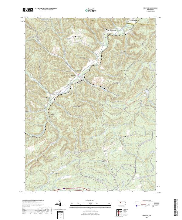
2023 Map of Penfield
USGS Topo · Published 2023About this map
Penfield and the neighboring settlements of Winterburn and Tyler anchor this landscape along the border of Elk and Clearfield Counties. The geography is defined by the winding course of the Bennett Branch Sinnemahoning Creek and the intricate network of hollows like Lamb Hollow and Horning Hollow that cut through the high terrain. Local family names and community history are preserved in several hilltop burial grounds, including Penfield Cem, Mount Pleasant Cem, and Bundy Cem, which overlook the valleys below.
Find a feature on this map
83 named features on this map. Tap any name to fly to it.
Don’t see what you’re looking for? This feature index may not catch every label — zoom into the map to look around manually.
Map Details
Editions of this 2023 Penfield Map
This is the sole edition of this map. No revisions or reprints were ever made.
Other maps of this area

1929 · Clearfield
USGS Topo · 1:48,000

1929 · Penfield
USGS Topo · 1:62,500

1932 · Clearfield
USGS Topo · 1:62,500

1932 · Penfield
USGS Topo · 1:62,500

1941 · Benezette
USGS Topo · 1:62,500

1941 · Ridgway
USGS Topo · 1:62,500

1943 · Benezette
USGS Topo · 1:62,500

1944 · Ridgway
USGS Topo · 1:62,500

1957 · Warren
USGS Topo · 1:250,000

1958 · Warren
USGS Topo · 1:250,000
Featured Places
- Tyler, Huston Township
- Hoovertown, Huston Township
- Pine Township, PA
- Union Township, PA
- Jay Township, PA