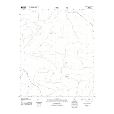
2011 Map of Penfield
USGS Topo · Published 2011About this map
Penfield sits at the heart of this landscape, surrounded by a high density of family and community burial grounds that speak to the area's deep ancestral roots. The settlement is positioned near the intersection of several local routes, including Penfield Rd and Maxey's Rd. A network of watercourses, most notably Fishing Creek, Town Creek, and McWhorter Creek, carves through the terrain, defining the natural boundaries between homesteads and rural tracts.
Find a feature on this map
40 named features on this map. Tap any name to fly to it.
Don’t see what you’re looking for? This feature index may not catch every label — zoom into the map to look around manually.
Map Details
Editions of this 2011 Penfield Map
This is the sole edition of this map. No revisions or reprints were ever made.
Other maps of this area

1953 · Athens
USGS Topo · 1:250,000

1958 · Athens
USGS Topo · 1:250,000

1959 · Athens
USGS Topo · 1:250,000

1963 · Athens
USGS Topo · 1:250,000

1964 · Barnett Shoals
USGS Topo · 1:24,000

1965 · Woodville
USGS Topo · 1:24,000

1965 · Union Point
USGS Topo · 1:24,000

1971 · Maxeys
USGS Topo · 1:24,000
1971 · Lexington
USGS Topo · 1:24,000

1972 · Penfield
USGS Topo · 1:24,000