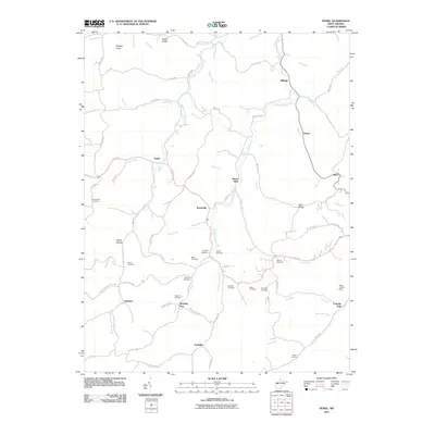
2011 Map of Peniel
USGS Topo · Published 2011About this map
Middle Fork Reedy Creek and the Left Fork Reedy Creek converge in this pocket of Roane County, shaping a landscape defined by steep ridges and winding valley roads. Small settlements such as Reedyville, Peniel, and Billings anchor the local road network, connected by routes like Ripley Rd and Reedyville Rd. The map reveals a dense concentration of family and community burial grounds, including the Mount Zion Cemetery on Zion Ridge, as well as the Chrislip Cemetery and Beckley Cemetery near the creek forks. This abundance of small cemeteries provides significant evidence of the area's ancestral homesteads and lineage. Topographic highlights include Panther Knob in the north and Mount Union Hill near Morning Star, while the eastern portion features Lake Trotter Dam and the community of Leaning Oak.
Find a feature on this map
75 named features on this map. Tap any name to fly to it.
Don’t see what you’re looking for? This feature index may not catch every label — zoom into the map to look around manually.
Map Details
Editions of this 2011 Peniel Map
This is the sole edition of this map. No revisions or reprints were ever made.
Other maps of this area

1906 · Kenna
USGS Topo · 1:62,500

1906 · Walton
USGS Topo · 1:62,500

1907 · Kenna
USGS Topo · 1:62,500

1907 · Spencer
USGS Topo · 1:62,500

1907 · Walton
USGS Topo · 1:62,500

1907 · Ripley
USGS Topo · 1:62,500

1926 · Ripley
USGS Topo · 1:62,500

1928 · Spencer
USGS Topo · 1:62,500

1928 · Ripley
USGS Topo · 1:62,500

1954 · Charleston
USGS Topo · 1:250,000