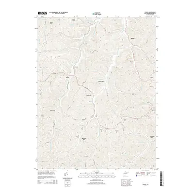
2014 Map of Peniel
USGS Topo · Published 2014About this map
Middle Fork Reedy Cr and Left Fork Reedy Cr carve deep into the plateau of Roane County, anchoring a series of small, rural settlements connected by winding ridge roads. Small communities like Peniel, Reedyville, and Vandalia are linked by Ripley Rd, following the contours of the land around Panther Knob and Colt Ridge. The landscape is defined by its numerous family-named cemeteries and hollows, such as Riddle Hollow and Brook Ball Holw, which offer significant value for genealogists tracing local lineage in this part of West Virginia.
Find a feature on this map
90 named features on this map. Tap any name to fly to it.
Don’t see what you’re looking for? This feature index may not catch every label — zoom into the map to look around manually.
Map Details
Editions of this 2014 Peniel Map
This is the sole edition of this map. No revisions or reprints were ever made.
Other maps of this area
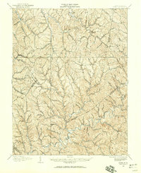
1906 · Kenna
USGS Topo · 1:62,500

1906 · Walton
USGS Topo · 1:62,500
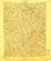
1907 · Kenna
USGS Topo · 1:62,500

1907 · Spencer
USGS Topo · 1:62,500
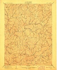
1907 · Walton
USGS Topo · 1:62,500

1907 · Ripley
USGS Topo · 1:62,500
1926 · Ripley
USGS Topo · 1:62,500
1928 · Spencer
USGS Topo · 1:62,500
1928 · Ripley
USGS Topo · 1:62,500
1954 · Charleston
USGS Topo · 1:250,000