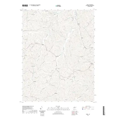
2019 Map of Peniel
USGS Topo · Published 2019About this map
The hills of Roane County are defined by an intricate network of narrow valleys and ridges, where small communities like Reedyville and Peniel follow the winding paths of the Middle Fork Reedy Cr and Left Fork Reedy Cr. This landscape is particularly dense with small family and community burial grounds, illustrating a long history of local settlement and genealogical significance. Many of these sites, including Mount Zion Cem and the Christip Cem, are situated along high ground such as Dutch Ridge or Colt Ridge, overlooking the scattered homesteads in the hollows below.
Find a feature on this map
101 named features on this map. Tap any name to fly to it.
Don’t see what you’re looking for? This feature index may not catch every label — zoom into the map to look around manually.
Map Details
Editions of this 2019 Peniel Map
This is the sole edition of this map. No revisions or reprints were ever made.
Other maps of this area

1906 · Kenna
USGS Topo · 1:62,500

1906 · Walton
USGS Topo · 1:62,500

1907 · Kenna
USGS Topo · 1:62,500

1907 · Spencer
USGS Topo · 1:62,500

1907 · Walton
USGS Topo · 1:62,500

1907 · Ripley
USGS Topo · 1:62,500

1926 · Ripley
USGS Topo · 1:62,500

1928 · Spencer
USGS Topo · 1:62,500

1928 · Ripley
USGS Topo · 1:62,500

1954 · Charleston
USGS Topo · 1:250,000