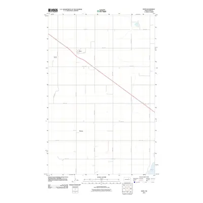
2011 Map of Penn
USGS Topo · Published 2011About this map
The small settlement of Penn anchors this section of the northern Great Plains, situated along a prominent diagonal transportation corridor. This 2011 survey of Ramsey County captures a landscape defined by the rigid grid of the Public Land Survey System, where section lines are marked by roads like 57th St NE and 70th Ave NE. The agricultural character of the region is evident in the sparse but intentional placement of community landmarks, such as the Saint Paul Cemetery, which serves as a vital touchstone for local genealogy. In the southeast corner, the map reveals the encroaching shoreline of Devils Lake, illustrating the unique hydrologic nature of this terminal basin where water levels have historically fluctuated against the surrounding farmland.
Find a feature on this map
17 named features on this map. Tap any name to fly to it.
Don’t see what you’re looking for? This feature index may not catch every label — zoom into the map to look around manually.
Map Details
Editions of this 2011 Penn Map
This is the sole edition of this map. No revisions or reprints were ever made.
Other maps of this area

1931 · Devils Lake
USGS Topo · 1:62,500

1932 · Grahams Island
USGS Topo · 1:62,500

1950 · Grahams Island
USGS Topo · 1:62,500

1950 · Devils Lake
USGS Topo · 1:62,500

1951 · Grahams Island
USGS Topo · 1:24,000

1951 · Tilden
USGS Topo · 1:24,000

1951 · Grand Harbor
USGS Topo · 1:24,000

1951 · Camp Grafton
USGS Topo · 1:24,000

1951 · Minnewaukan East
USGS Topo · 1:24,000

1951 · Penn
USGS Topo · 1:24,000