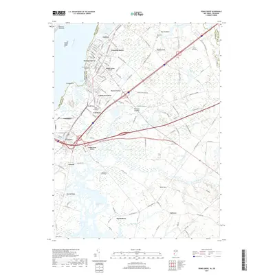
2019 Map of Penns Grove
USGS Topo · Published 2019About this map
Penns Grove and the industrial riverfront of Carneys Point dominate this 2019 view of the New Jersey-Delaware border. The landscape is defined by the heavy infrastructure of the Delaware River corridor, where the Cherry Island Flats sit just offshore from Helms Cove. Inland, the map reveals a complex web of modern transit routes like Pennsville Auburn Rd intersecting with smaller, historically rooted communities such as Raines Corner, Danceys Corner, and Friendship Station.
Find a feature on this map
96 named features on this map. Tap any name to fly to it.
Don’t see what you’re looking for? This feature index may not catch every label — zoom into the map to look around manually.
Map Details
Editions of this 2019 Penns Grove Map
This is the sole edition of this map. No revisions or reprints were ever made.
Other maps of this area

1890 · Salem
USGS Topo · 1:62,500

1894 · Chester
USGS Topo · 1:62,500

1896 · Chester
USGS Topo · 1:62,500

1898 · Salem
USGS Topo · 1:62,500

1898 · Chester
USGS Topo · 1:62,500

1901 · Camden
USGS Topo · 1:125,000

1901 · West Chester
USGS Topo · 1:62,500

1904 · West Chester
USGS Topo · 1:62,500

1904 · Wilmington
USGS Topo · 1:62,500

1906 · Wilmington
USGS Topo · 1:62,500