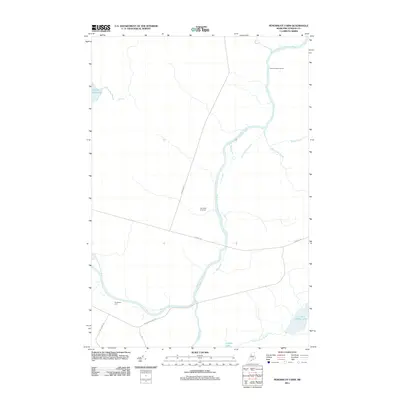
2011 Map of Penobscot Farm
USGS Topo · Published 2011About this map
The West Branch Penobscot River dictates the movement and geography of this North Woods territory, flowing past isolated outposts and logging-era landmarks. Near the southern bank, Penobscot Farm stands as a focal point for the surrounding forest, while further north, the Smith Halfway House marks a point of passage along the river corridor. The landscape is defined by its complex drainage systems, including the slow-moving Cassidy Deadwater and the intersection of Lobster Stream and Moosehorn Stream.
Find a feature on this map
17 named features on this map. Tap any name to fly to it.
Don’t see what you’re looking for? This feature index may not catch every label — zoom into the map to look around manually.
Map Details
Editions of this 2011 Penobscot Farm Map
This is the sole edition of this map. No revisions or reprints were ever made.
Other maps of this area

1954 · Chesuncook
USGS Topo · 1:62,500

1954 · North East Carry
USGS Topo · 1:62,500

1954 · Caucomgomoc Lake
USGS Topo · 1:62,500

1954 · Grant Farm
USGS Topo · 1:62,500

1954 · Presque Isle
USGS Topo · 1:250,000

1954 · Millinocket
USGS Topo · 1:250,000

1958 · Presque Isle
USGS Topo · 1:250,000

1958 · Millinocket
USGS Topo · 1:250,000

1958 · Chesuncook
USGS Topo · 1:62,500

1958 · Caucomgomoc Lake
USGS Topo · 1:62,500
Featured Places
- Northeast Carry Township, ME
- T4 R14 WELS, ME
- T4 R15 WELS, ME
- Lobster Township, ME
- Piscataquis County, ME