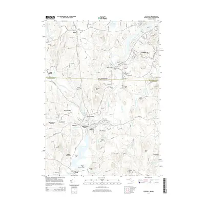
2015 Map of Pepperell
USGS Topo · Published 2015About this map
The Nashua River serves as the primary artery for this region of the Massachusetts and New Hampshire border, dictating the placement of historic industrial sites and settlements. In the mid-2010s, the landscape around Pepperell and East Pepperell retained its dense network of small villages, including Babbatasset Village and Paper Mill Village, which reflect the area's manufacturing roots. The conversion of former transportation corridors is evident in the Nashua River Rail Trl, which follows the river's bend near Hollis Depot. To the west, the Nissitissit River flows through North Pepperell, passing near landmarks like the Pepperell Airport. The terrain is characterized by numerous named heights such as Nissitissit Hills and Mt Lebanon, while the rural character of the area is underscored by the concentration of family and community burial grounds, including South Cem, East Cem, and Woodlawn Cem.
Find a feature on this map
211 named features on this map. Tap any name to fly to it.
Don’t see what you’re looking for? This feature index may not catch every label — zoom into the map to look around manually.
Map Details
Editions of this 2015 Pepperell Map
This is the sole edition of this map. No revisions or reprints were ever made.
Other maps of this area

1886 · Lowell
USGS Topo · 1:62,500

1893 · Lowell
USGS Topo · 1:62,500

1893 · Groton
USGS Topo · 1:62,500

1905 · Manchester
USGS Topo · 1:62,500

1906 · Milford
USGS Topo · 1:62,500

1918 · Lowell
USGS Topo · 1:62,500

1921 · Lowell
USGS Topo · 1:62,500

1931 · Lowell
USGS Topo · 1:48,000

1931 · Groton
USGS Topo · 1:48,000

1935 · Ayer
USGS Topo · 1:24,000