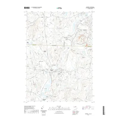
2021 Map of Pepperell
USGS Topo · Published 2021About this map
The Nashua River serves as the central artery for this region, winding through a landscape defined by its transition from agricultural heritage to modern conservation. Along its banks, the Nashua River Rail Trl follows an old corridor through East Pepperell and Pepperell, while smaller settlements like Babbatasset Village and Paper Mill Village speak to the area's industrial past. Numerous family-named hills and cemeteries are scattered throughout, including the Rideout Family Cem and Blood Cem, offering clear points of reference for genealogical research.
Find a feature on this map
75 named features on this map. Tap any name to fly to it.
Don’t see what you’re looking for? This feature index may not catch every label — zoom into the map to look around manually.
Map Details
Editions of this 2021 Pepperell Map
This is the sole edition of this map. No revisions or reprints were ever made.
Other maps of this area

1886 · Lowell
USGS Topo · 1:62,500

1893 · Lowell
USGS Topo · 1:62,500

1893 · Groton
USGS Topo · 1:62,500

1905 · Manchester
USGS Topo · 1:62,500

1906 · Milford
USGS Topo · 1:62,500

1918 · Lowell
USGS Topo · 1:62,500

1921 · Lowell
USGS Topo · 1:62,500

1931 · Lowell
USGS Topo · 1:48,000

1931 · Groton
USGS Topo · 1:48,000

1935 · Ayer
USGS Topo · 1:24,000