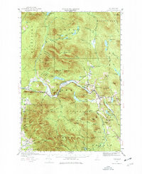
1930 Map of Percy
USGS Topo · Published 1977About this map
The Ammonoosuc River and the Grand Trunk railroad corridor define this 1930 study of New Hampshire's North Country. The village of Stark serves as the primary hub along the river, nestled near the dramatic landmark of Devils Slide. To the east, West Milan marks the junction of the rail line and the Upper Ammonoosuc River. The map details a landscape transition from the established settlements and schools like Blake Sch and Emerson Sch in the river valley to the wild timberlands of the White Mountain National Forest and Kilkenny.
Find a feature on this map
72 named features on this map. Tap any name to fly to it.
Don’t see what you’re looking for? This feature index may not catch every label — zoom into the map to look around manually.
Map Details
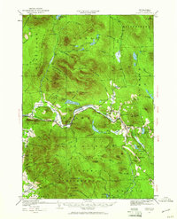
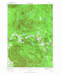
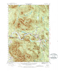
Editions of this 1930 Percy Map
5 editions found
Other maps of this area

1893 · Mt. Washington
USGS Topo · 1:62,500

1893 · Gorham
USGS Topo · 1:62,500

1896 · Mt. Washington
USGS Topo · 1:62,500

1896 · Gorham
USGS Topo · 1:62,500

1900 · Whitefield
USGS Topo · 1:62,500

1920 · Guildhall
USGS Topo · 1:62,500

1929 · Averill
USGS Topo · 1:62,500

1930 · Milan
USGS Topo · 1:62,500

1930 · Percy
USGS Topo · 1:62,500

1930 · Dixville
USGS Topo · 1:62,500