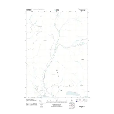
2012 Map of Percy Peaks
USGS Topo · Published 2012About this map
The Percy Peaks dominate this section of Coos County, with their distinct twin summits of North Percy Peak and South Percy Peak serving as prominent landmarks. This landscape is defined by its complex network of water bodies and high-elevation terrain, where Nash Stream carves a path through Boman Valley toward the Upper Ammonoosuc River. The map highlights a series of isolated mountain ponds, including Sugarloaf Pond, Whitcomb Pond, and Long Mountain Pond, which suggest a wilderness character preserved well into the twenty-first century.
Find a feature on this map
44 named features on this map. Tap any name to fly to it.
Don’t see what you’re looking for? This feature index may not catch every label — zoom into the map to look around manually.
Map Details
Editions of this 2012 Percy Peaks Map
This is the sole edition of this map. No revisions or reprints were ever made.
Other maps of this area

1920 · Guildhall
USGS Topo · 1:62,500

1929 · Averill
USGS Topo · 1:62,500

1930 · Percy
USGS Topo · 1:62,500

1930 · Dixville
USGS Topo · 1:62,500

1931 · Guildhall
USGS Topo · 1:48,000

1933 · Guildhall
USGS Topo · 1:48,000

1933 · Dixville
USGS Topo · 1:62,500

1934 · Percy
USGS Topo · 1:62,500

1934 · Dixville
USGS Topo · 1:62,500

1937 · Guildhall
USGS Topo · 1:62,500