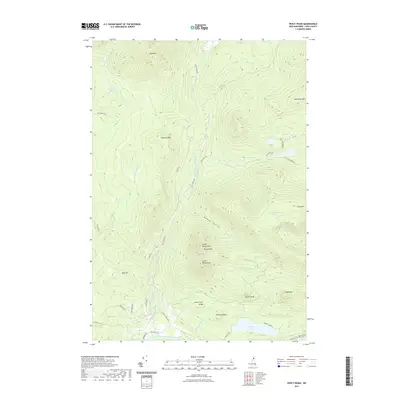
2021 Map of Percy Peaks
USGS Topo · Published 2021About this map
North Percy Peak and South Percy Peak dominate the topography of this Coos County landscape, where the granite summits of the Percy Peaks rise above the drainage of Nash Stream. The southern portion of the quadrangle is defined by the valley of the Upper Ammonoosuc River, which serves as a corridor for local travel along Northside Rd. The area is characterized by high-elevation water bodies and localized landmarks, including Christine Lake, Whitcomb Pond, and the family-named Jimmy Cole Ledge.
Find a feature on this map
47 named features on this map. Tap any name to fly to it.
Don’t see what you’re looking for? This feature index may not catch every label — zoom into the map to look around manually.
Map Details
Editions of this 2021 Percy Peaks Map
This is the sole edition of this map. No revisions or reprints were ever made.
Other maps of this area

1920 · Guildhall
USGS Topo · 1:62,500

1929 · Averill
USGS Topo · 1:62,500

1930 · Percy
USGS Topo · 1:62,500

1930 · Dixville
USGS Topo · 1:62,500

1931 · Guildhall
USGS Topo · 1:48,000

1933 · Guildhall
USGS Topo · 1:48,000

1933 · Dixville
USGS Topo · 1:62,500

1934 · Percy
USGS Topo · 1:62,500

1934 · Dixville
USGS Topo · 1:62,500

1937 · Guildhall
USGS Topo · 1:62,500