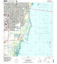
1994 Map of Perrine
USGS Topo · Published 1999About this map
Biscayne Bay defines the eastern edge of this coastal landscape, where the saltwater environment of Biscayne National Park meets the suburban expansion of Miami-Dade County in the mid-1990s. The inland area is a grid of residential developments and citrus groves, anchored by settlements like Perrine, Peters, and Cutler Ridge. An extensive network of drainage infrastructure, including Canal No C-100 and the Black Creek Canal No C-1w, reflects the managed hydrology required for coastal development.
Find a feature on this map
60 named features on this map. Tap any name to fly to it.
Don’t see what you’re looking for? This feature index may not catch every label — zoom into the map to look around manually.
Map Details
Editions of this 1994 Perrine Map
This is the sole edition of this map. No revisions or reprints were ever made.
Other maps of this area
1947 · Key Biscayne
USGS Topo · 1:24,000
1948 · Soldier Key
USGS Topo · 1:24,000
1949 · South Miami NW
USGS Topo · 1:24,000
1949 · Elliott Key
USGS Topo · 1:24,000
1949 · Key Biscayne
USGS Topo · 1:24,000
1949 · Arsenicker Keys
USGS Topo · 1:24,000
1949 · Goulds
USGS Topo · 1:24,000
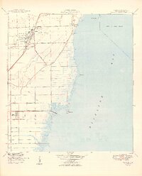
1949 · Perrine
USGS Topo · 1:24,000
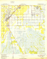
1950 · Homestead
USGS Topo · 1:24,000
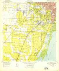
1950 · South Miami
USGS Topo · 1:24,000