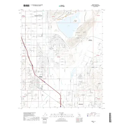
2018 Map of Perris
USGS Topo · Published 2018About this map
The Perris Reservoir and its surrounding recreational features, such as Alessandro Island and Bernasconi Bay, dominate the northern landscape in this contemporary study. Further south, the city of Perris serves as a central hub, flanked by agricultural and industrial developments that follow the path of the San Jacinto River. The infrastructure of the region is clearly defined by the Colorado River Aqueduct and the large footprint of the March Air Reserve Base to the northwest.
Find a feature on this map
107 named features on this map. Tap any name to fly to it.
Don’t see what you’re looking for? This feature index may not catch every label — zoom into the map to look around manually.
Map Details
Editions of this 2018 Perris Map
This is the sole edition of this map. No revisions or reprints were ever made.
Other maps of this area

1901 · Southern California Sheet No. 1
USGS Topo · 1:250,000

1901 · Elsinore
USGS Topo · 1:125,000

1901 · Riverside
USGS Topo · 1:62,500

1904 · Southern California Sheet No. 1
USGS Topo · 1:250,000

1942 · Lake Elsinore
USGS Topo · 1:62,500

1942 · Murrieta
USGS Topo · 1:62,500

1942 · Riverside
USGS Topo · 1:62,500

1942 · Perris
USGS Topo · 1:62,500

1943 · Perris
USGS Topo · 1:62,500

1943 · Riverside
USGS Topo · 1:62,500