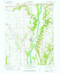
1964 Map of Perrysville
USGS Topo · Published 1965About this map
The Wabash River serves as the central artery for this portion of Vermillion and Fountain Counties, carving a wide valley through the Indiana landscape during the mid-1960s. The settlement of Perrysville sits prominently along the western bank, marked by its grid of streets and a water tank near the river’s edge. Further west toward the Illinois border, the Chicago and Eastern Illinois railroad corridor connects the small communities of Gessie and Flat Iron, illustrating the era's reliance on rail for transport and commerce. Small-scale industry and rural life are evident through the presence of several mines and a gravel pit near the river bluffs. Genealogists will find a wealth of local landmarks, including many family-named burial grounds like Chenoweth Cem and Lower Mound Cem, alongside rural congregations such as Mt Carmel Ch and Wabash Chapel.
Find a feature on this map
37 named features on this map. Tap any name to fly to it.
Don’t see what you’re looking for? This feature index may not catch every label — zoom into the map to look around manually.
Map Details
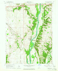
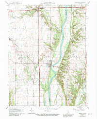
Editions of this 1964 Perrysville Map
3 editions found
Other maps of this area

1899 · Danville
USGS Topo · 1:62,500

1900 · Danville
USGS Topo · 1:62,500

1947 · Ridge Farm
USGS Topo · 1:62,500

1950 · Danville SE
USGS Topo · 1:24,000

1950 · Danville NE
USGS Topo · 1:24,000

1951 · Danville NE
USGS Topo · 1:24,000

1951 · Danville SE
USGS Topo · 1:24,000

1953 · Danville
USGS Topo · 1:250,000

1953 · Indianapolis
USGS Topo · 1:250,000

1955 · Danville
USGS Topo · 1:250,000