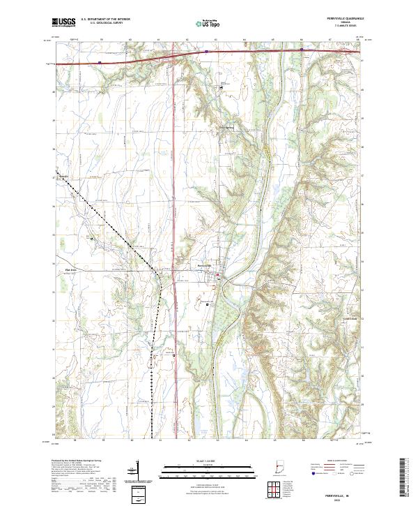
2022 Map of Perrysville
USGS Topo · Published 2022About this map
The Wabash River meanders through this portion of western Indiana, defining the border between Vermillion and Fountain counties. The settlement of Perrysville sits on the western bank, serving as a hub for the surrounding agricultural grid. This 2022 survey documents a landscape where small rural communities like Gessie, Flat Iron, and Coal Creek are connected by a dense network of county roads. Genealogists will find several burial sites preserved across the townships, including Lower Mound Cem to the north and Chenoweth Cem situated near the river south of town. Water features such as Jericho Cr, Jordan Cr, and the expansive Coffing Brothers Lake illustrate the drainage patterns of the Wabash Valley, while landmarks like Tree Spring and Collett Pond provide specific points of interest for local history researchers and land surveyors.
Find a feature on this map
79 named features on this map. Tap any name to fly to it.
Don’t see what you’re looking for? This feature index may not catch every label — zoom into the map to look around manually.
Map Details
Editions of this 2022 Perrysville Map
This is the sole edition of this map. No revisions or reprints were ever made.
Other maps of this area

1899 · Danville
USGS Topo · 1:62,500

1900 · Danville
USGS Topo · 1:62,500

1947 · Ridge Farm
USGS Topo · 1:62,500

1950 · Danville SE
USGS Topo · 1:24,000

1950 · Danville NE
USGS Topo · 1:24,000

1951 · Danville NE
USGS Topo · 1:24,000

1951 · Danville SE
USGS Topo · 1:24,000

1953 · Danville
USGS Topo · 1:250,000

1953 · Indianapolis
USGS Topo · 1:250,000

1955 · Danville
USGS Topo · 1:250,000