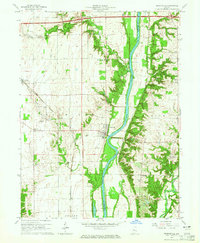
1964 Map of Perrysville
USGS Topo · Published 1976About this map
The Wabash River serves as the central artery for this mid-1960s landscape, dividing Vermillion and Fountain counties. Settlement is concentrated in the riverside town of Perrysville, where a Water Tank stands near the bank, and the smaller communities of Gessie and Flat Iron to the west. The rural interior is dotted with historic congregational centers such as Hopewell Ch, Walnut Chapel, and Mt Carmel Ch, alongside numerous family burial grounds.
Find a feature on this map
27 named features on this map. Tap any name to fly to it.
Don’t see what you’re looking for? This feature index may not catch every label — zoom into the map to look around manually.
Map Details
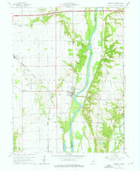
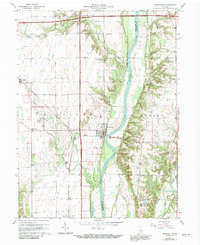
Editions of this 1964 Perrysville Map
3 editions found
Other maps of this area

1899 · Danville
USGS Topo · 1:62,500

1900 · Danville
USGS Topo · 1:62,500

1947 · Ridge Farm
USGS Topo · 1:62,500

1950 · Danville SE
USGS Topo · 1:24,000

1950 · Danville NE
USGS Topo · 1:24,000

1951 · Danville NE
USGS Topo · 1:24,000

1951 · Danville SE
USGS Topo · 1:24,000

1953 · Danville
USGS Topo · 1:250,000

1953 · Indianapolis
USGS Topo · 1:250,000

1955 · Danville
USGS Topo · 1:250,000