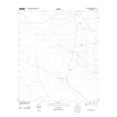
2012 Map of Persimmon Gap
USGS Topo · Published 2012About this map
Persimmon Gap serves as a primary passage through the arid terrain of Brewster County, documented here as it appeared in the early 21st century. The landscape is defined by its water management and ranching infrastructure, featuring isolated outposts like Double Mills and Green Windmill that dot the high desert. To the north, Maravillas Cr and Javelina Draw carve through the basin, highlighting the drainage patterns essential to local survival. Transportation is anchored by the corridor of Ranch Road 2627 and the specialized Persimmon Gap Ranch Airport, reflecting the logistical challenges of this vast region. This survey illustrates the sparse but critical network of human activity, from the Carney Tank water source to the primitive routes of Chalk Draw Ranch Rd.
Find a feature on this map
9 named features on this map. Tap any name to fly to it.
Don’t see what you’re looking for? This feature index may not catch every label — zoom into the map to look around manually.
Map Details
Editions of this 2012 Persimmon Gap Map
This is the sole edition of this map. No revisions or reprints were ever made.
Other maps of this area

1917 · Santiago Peak
USGS Topo · 1:62,500

1917 · Bone Spring
USGS Topo · 1:62,500

1917 · Hood Spring
USGS Topo · 1:62,500

1918 · Bone Spring
USGS Topo · 1:125,000

1918 · Hood Spring
USGS Topo · 1:62,500

1918 · Santiago Peak
USGS Topo · 1:62,500

1918 · Bone Spring
USGS Topo · 1:62,500

1918 · Nine Point Mesa
USGS Topo · 1:62,500

1920 · Bone Spring
USGS Topo · 1:62,500

1931 · Hood Spring
USGS Topo · 1:62,500