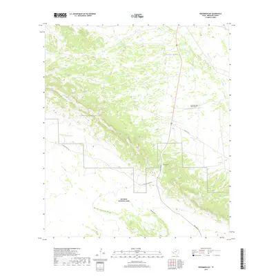
2019 Map of Persimmon Gap
USGS Topo · Published 2019About this map
Big Bend National Park dominates the southern landscape of this Brewster County study, where the Santiago Mountains form a prominent spine through the high desert. This region serves as a critical northern entry point for the park, centered on the natural passage of Persimmon Gap. The map details the drainage network essential to this arid environment, including Javelina Draw and Bone Spring Draw, alongside isolated man-made features like Carney Tank. Transportation is defined by Main Park Rd and the junction of Chalk Draw Ranch Rd, which together provide access to this remote corner of West Texas. The presence of the Persimmon Gap Ranch Airport highlights the logistical challenges and ranching history that characterize the area's modern era.
Find a feature on this map
12 named features on this map. Tap any name to fly to it.
Don’t see what you’re looking for? This feature index may not catch every label — zoom into the map to look around manually.
Map Details
Editions of this 2019 Persimmon Gap Map
This is the sole edition of this map. No revisions or reprints were ever made.
Other maps of this area

1917 · Santiago Peak
USGS Topo · 1:62,500

1917 · Bone Spring
USGS Topo · 1:62,500

1917 · Hood Spring
USGS Topo · 1:62,500

1918 · Bone Spring
USGS Topo · 1:125,000

1918 · Hood Spring
USGS Topo · 1:62,500

1918 · Santiago Peak
USGS Topo · 1:62,500

1918 · Bone Spring
USGS Topo · 1:62,500

1918 · Nine Point Mesa
USGS Topo · 1:62,500

1920 · Bone Spring
USGS Topo · 1:62,500

1931 · Hood Spring
USGS Topo · 1:62,500