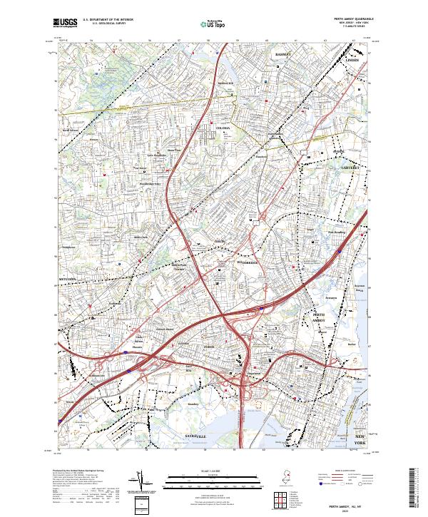
2023 Map of Perth Amboy
USGS Topo · Published 2023About this map
The industrial corridor and residential hubs of Middlesex County are mapped here during a period of dense development. The survey covers the complex network of communities between Rahway and Perth Amboy, showing a landscape heavily shaped by its proximity to the Raritan River and the Arthur Kill. Significant land use is dedicated to memorial parks and historical burial grounds, including the Metuchen Colonial Cem and the sprawling Mount Lebanon Cem - Forest Lawn Memorial Gardens.
Find a feature on this map
96 named features on this map. Tap any name to fly to it.
Don’t see what you’re looking for? This feature index may not catch every label — zoom into the map to look around manually.
Map Details
Editions of this 2023 Perth Amboy Map
This is the sole edition of this map. No revisions or reprints were ever made.
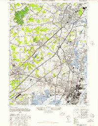
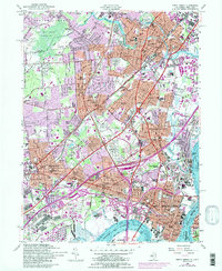
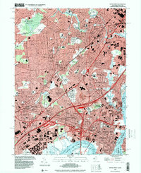
Historical Maps of Keasbey Through Time
4 maps found