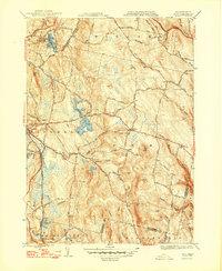
1948 Map of Peru
USGS Topo · Published 1948About this map
Hinsdale and Peru sit at the heart of this post-war landscape in the Berkshire hills, where a network of small family-named roads like Bennett Road and Geo Schnopps Road connect scattered upland farmsteads. The industrial and transit corridor is anchored by the Boston and Albany Railroad, which follows the path of the Housatonic River through the southwestern corner near Washington Sta. Notable water features including Ashmere Lake and Windsor Reservoir dominate the central terrain, while the northern edge features the dramatic Wahconah Falls. Genealogists will find a wealth of local burial sites, from North Cem near the Windsor border to the secluded Perry Cem. The map illustrates a rural Massachusetts community still defined by its complex drainage systems and the peaks of French Hill and Garnet Hill, just as early 20th-century travel was beginning to modernize along the Berkshire Trail.
Find a feature on this map
77 named features on this map. Tap any name to fly to it.
Don’t see what you’re looking for? This feature index may not catch every label — zoom into the map to look around manually.
Map Details
Editions of this 1948 Peru Map
2 editions found
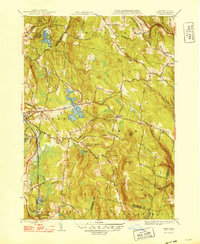
Other maps of this area

1886 · Greylock
USGS Topo · 1:62,500

1886 · Hawley
USGS Topo · 1:62,500

1886 · Chesterfield
USGS Topo · 1:62,500

1886 · Becket
USGS Topo · 1:62,500

1888 · Becket
USGS Topo · 1:62,500

1888 · Chesterfield
USGS Topo · 1:62,500

1890 · Hawley
USGS Topo · 1:62,500

1891 · Greylock
USGS Topo · 1:62,500

1893 · Chesterfield
USGS Topo · 1:62,500

1893 · Becket
USGS Topo · 1:62,500