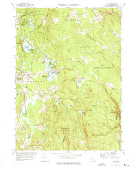
1973 Map of Peru
USGS Topo · Published 1975About this map
Ashmere Lake and its surrounding recreational clusters, including Camp Taconic, Camp Ashmere, and Camp Danbee, center this study of the Berkshire highlands. The landscape is defined by its transition from the industrial and transport corridor of the Housatonic River and the Penn Central railroad in the west to the protected timberlands of Middlefield State Forest and Peru State Forest in the east. Numerous family-named roads like Geo Schnopps Road and Bradshaw Road provide a granular view of rural settlement patterns before modern consolidation. The map preserves the locations of several burial grounds, such as North Cem and South Cem, which are vital for genealogical research in this sparsely populated section of the Berkshires. Water management is a visible priority, evidenced by the Pittsfield Watershed Area and reservoirs that feed the lower valleys.
Find a feature on this map
108 named features on this map. Tap any name to fly to it.
Don’t see what you’re looking for? This feature index may not catch every label — zoom into the map to look around manually.
Map Details
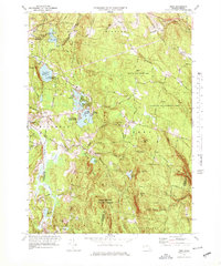
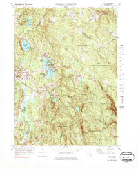
Editions of this 1973 Peru Map
3 editions found
Other maps of this area

1886 · Greylock
USGS Topo · 1:62,500

1886 · Hawley
USGS Topo · 1:62,500

1886 · Chesterfield
USGS Topo · 1:62,500

1886 · Becket
USGS Topo · 1:62,500

1888 · Becket
USGS Topo · 1:62,500

1888 · Chesterfield
USGS Topo · 1:62,500

1890 · Hawley
USGS Topo · 1:62,500

1891 · Greylock
USGS Topo · 1:62,500

1893 · Chesterfield
USGS Topo · 1:62,500

1893 · Becket
USGS Topo · 1:62,500