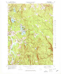
1973 Map of Peru
USGS Topo · Published 1978About this map
The town of Peru and the village of Hinsdale anchor this 1970s survey of the high ground in the Berkshire hills. The landscape is defined by the headwaters of the Housatonic River and the Westfield River, with numerous high-elevation reservoirs and ponds such as Cleveland Brook Reservoir and Ashmere Lake serving the surrounding region. The presence of the Pittsfield Watershed Area and large tracts of protected land, including the Peru Wildlife Management Area and Middlefield State Forest, indicates a mid-century shift toward conservation and recreation.
Find a feature on this map
75 named features on this map. Tap any name to fly to it.
Don’t see what you’re looking for? This feature index may not catch every label — zoom into the map to look around manually.
Map Details
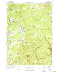
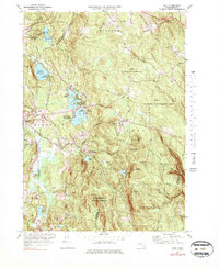
Editions of this 1973 Peru Map
3 editions found
Other maps of this area

1886 · Greylock
USGS Topo · 1:62,500

1886 · Hawley
USGS Topo · 1:62,500

1886 · Chesterfield
USGS Topo · 1:62,500

1886 · Becket
USGS Topo · 1:62,500

1888 · Becket
USGS Topo · 1:62,500

1888 · Chesterfield
USGS Topo · 1:62,500

1890 · Hawley
USGS Topo · 1:62,500

1891 · Greylock
USGS Topo · 1:62,500

1893 · Chesterfield
USGS Topo · 1:62,500

1893 · Becket
USGS Topo · 1:62,500