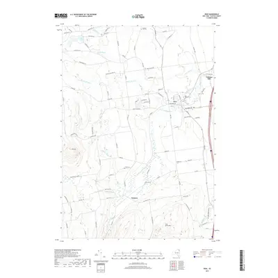
2019 Map of Peru
USGS Topo · Published 2019About this map
Peru serves as a central hub in this Clinton County landscape, where the Little Ausable River winds through a terrain defined by both agriculture and the edge of the Adirondack Park. The settlement patterns here are deeply rooted, evidenced by the numerous burial grounds including Saint Augustine Cem, Quaker Cem, and Harkness Cem that dot the countryside. These sites, along with the smaller hamlets of Harkness and Laphams Mills, reflect the 19th-century development of the region's interior.
Find a feature on this map
90 named features on this map. Tap any name to fly to it.
Don’t see what you’re looking for? This feature index may not catch every label — zoom into the map to look around manually.
Map Details
Editions of this 2019 Peru Map
This is the sole edition of this map. No revisions or reprints were ever made.
Other maps of this area

1894 · Plattsburg
USGS Topo · 1:62,500

1895 · Willsboro
USGS Topo · 1:62,500

1895 · Ausable
USGS Topo · 1:62,500

1903 · Ausable
USGS Topo · 1:62,500

1906 · Plattsburg
USGS Topo · 1:62,500

1913 · Dannemora
USGS Topo · 1:62,500

1939 · Plattsburg
USGS Topo · 1:62,500

1941 · Plattsburg
USGS Topo · 1:62,500

1941 · Willsboro
USGS Topo · 1:62,500

1943 · Willsboro
USGS Topo · 1:62,500