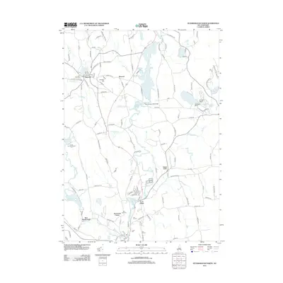
2012 Map of Peterborough North
USGS Topo · Published 2012About this map
The MacDowell Colony stands as a prominent cultural landmark in this southern New Hampshire landscape, situated just north of West Peterborough. The terrain is defined by the winding course of the Contoocook River and its accompanying Contoocook River Reservoir, while the village of Hancock serves as a northern anchor near Norway Pond. This area preserves a high density of burial grounds, including Norway Plain Cem, Pine Ridge Cem, and Saint Peters Cem, which offer significant value for genealogical research. The map also reveals the rural settlement patterns of Elmwood and North Village, alongside recreational sites like Otter Lake and the Boston University Sargent Camp near Half Moon Pond. Transport and community life are marked by features such as the Hancock-Greenfield Bridge and the John Hancock Grange.
Find a feature on this map
129 named features on this map. Tap any name to fly to it.
Don’t see what you’re looking for? This feature index may not catch every label — zoom into the map to look around manually.
Map Details
Editions of this 2012 Peterborough North Map
This is the sole edition of this map. No revisions or reprints were ever made.
Other maps of this area

1898 · Monadnock
USGS Topo · 1:62,500

1900 · Peterboro
USGS Topo · 1:62,500

1926 · Hillsboro
USGS Topo · 1:62,500

1929 · Hillsboro
USGS Topo · 1:62,500

1930 · Lovewell Mountain
USGS Topo · 1:62,500

1936 · Monadnock
USGS Topo · 1:62,500

1942 · Keene
USGS Topo · 1:125,000

1942 · Lovewell Mountain
USGS Topo · 1:62,500

1943 · Fitchburg
USGS Topo · 1:125,000

1948 · Boston
USGS Topo · 1:250,000