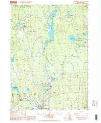
1997 Map of Peterborough North
USGS Topo · Published 1998About this map
The Contoccook River serves as the central artery for this part of Hillsborough County, flowing north through the industrial and residential heart of Peterborough and Bennington. The landscape is defined by its water management and conservation history, featuring the MacDowell Reservoir and the storied MacDowell Colony, a renowned retreat for artists and writers. Waterways such as Nubanusit Bk and Moose Brook feed into a series of ponds and marshes, including Powder Mill Pond and Norway Pond.
Find a feature on this map
47 named features on this map. Tap any name to fly to it.
Don’t see what you’re looking for? This feature index may not catch every label — zoom into the map to look around manually.
Map Details
Editions of this 1997 Peterborough North Map
This is the sole edition of this map. No revisions or reprints were ever made.
Other maps of this area

1898 · Monadnock
USGS Topo · 1:62,500

1900 · Peterboro
USGS Topo · 1:62,500

1926 · Hillsboro
USGS Topo · 1:62,500

1929 · Hillsboro
USGS Topo · 1:62,500

1930 · Lovewell Mountain
USGS Topo · 1:62,500

1936 · Monadnock
USGS Topo · 1:62,500

1942 · Keene
USGS Topo · 1:125,000

1942 · Lovewell Mountain
USGS Topo · 1:62,500

1943 · Fitchburg
USGS Topo · 1:125,000

1948 · Boston
USGS Topo · 1:250,000