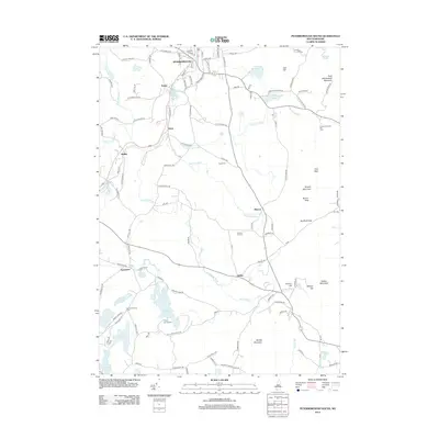
2012 Map of Peterborough South
USGS Topo · Published 2012About this map
Cathedral of the Pines and the small settlements of Noone, Drury, and Wilder characterize this southern New Hampshire landscape. The terrain is defined by a series of prominent peaks and gaps, including Barrett Mountain, Kidder Mountain, and the Temple Mountain ridge, which hosts the Temple Mountain Ski Area. The hydrology of the region is equally complex, centered on the Contoocook River and its various reservoirs, alongside the winding Gridley River and Meadow Brook.
Find a feature on this map
80 named features on this map. Tap any name to fly to it.
Don’t see what you’re looking for? This feature index may not catch every label — zoom into the map to look around manually.
Map Details
Editions of this 2012 Peterborough South Map
This is the sole edition of this map. No revisions or reprints were ever made.
Other maps of this area

1887 · Winchendon
USGS Topo · 1:62,500

1887 · Fitchburg
USGS Topo · 1:62,500

1889 · Fitchburg
USGS Topo · 1:62,500

1890 · Winchendon
USGS Topo · 1:62,500

1893 · Fitchburg
USGS Topo · 1:62,500

1894 · Winchendon
USGS Topo · 1:62,500

1898 · Monadnock
USGS Topo · 1:62,500

1900 · Peterboro
USGS Topo · 1:62,500

1931 · Fitchburg
USGS Topo · 1:48,000

1932 · Winchendon
USGS Topo · 1:48,000