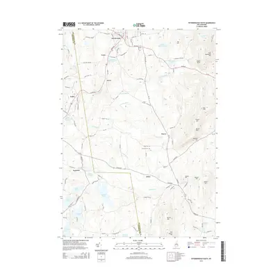
2015 Map of Peterborough South
USGS Topo · Published 2015About this map
The Contoocook River flows through a landscape defined by the prominent peaks of the Wapack Range in this modern topographic study of southern New Hampshire. Small communities and historical settlements such as Noone, Drury, and Wilder are scattered across the terrain, connected by local routes like Old Jaffrey Rd and Squantum Rd. The map provides significant detail for local historians, including the locations of North Cem and Jarmany Hill Cem, which sit near the village of Sharon. To the east, the elevation rises sharply toward Pack Monadnock Mtn and Holt Peak, framing the Gridley River valley. Numerous water bodies, from Cunningham Pond to the sprawling Hubbard Pond, illustrate the region's complex hydrology and its influence on the placement of early homesteads like the Four Winds Farm.
Find a feature on this map
103 named features on this map. Tap any name to fly to it.
Don’t see what you’re looking for? This feature index may not catch every label — zoom into the map to look around manually.
Map Details
Editions of this 2015 Peterborough South Map
This is the sole edition of this map. No revisions or reprints were ever made.
Other maps of this area

1887 · Winchendon
USGS Topo · 1:62,500

1887 · Fitchburg
USGS Topo · 1:62,500

1889 · Fitchburg
USGS Topo · 1:62,500

1890 · Winchendon
USGS Topo · 1:62,500

1893 · Fitchburg
USGS Topo · 1:62,500

1894 · Winchendon
USGS Topo · 1:62,500

1898 · Monadnock
USGS Topo · 1:62,500

1900 · Peterboro
USGS Topo · 1:62,500

1931 · Fitchburg
USGS Topo · 1:48,000

1932 · Winchendon
USGS Topo · 1:48,000