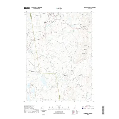
2018 Map of Peterborough South
USGS Topo · Published 2018About this map
Pack Monadnock Mtn and the Wapack Range anchor the eastern skyline of this Monadnock Region landscape, where the high ridgelines of Temple Mtn and Kidder Mtn create a natural barrier between the drainages. The Gridley River and Contoocook River systems define the lowlands, supporting significant water bodies like Hubbard Pond and the Contoocook River Reservoir. Small, established settlements including Noone, Drury, and Squantum are linked by a dense network of older routes such as Old Town Farm Rd and Old Jaffrey Rd. For the local historian or genealogist, the map preserves the locations of the North Cem and Jarmany Hill Cem, situated amidst a terrain defined by glacial leftovers like Tophet Swamp and the sharp rise of Barrett Mtn near the southern border.
Find a feature on this map
73 named features on this map. Tap any name to fly to it.
Don’t see what you’re looking for? This feature index may not catch every label — zoom into the map to look around manually.
Map Details
Editions of this 2018 Peterborough South Map
This is the sole edition of this map. No revisions or reprints were ever made.
Other maps of this area

1887 · Winchendon
USGS Topo · 1:62,500

1887 · Fitchburg
USGS Topo · 1:62,500

1889 · Fitchburg
USGS Topo · 1:62,500

1890 · Winchendon
USGS Topo · 1:62,500

1893 · Fitchburg
USGS Topo · 1:62,500

1894 · Winchendon
USGS Topo · 1:62,500

1898 · Monadnock
USGS Topo · 1:62,500

1900 · Peterboro
USGS Topo · 1:62,500

1931 · Fitchburg
USGS Topo · 1:48,000

1932 · Winchendon
USGS Topo · 1:48,000