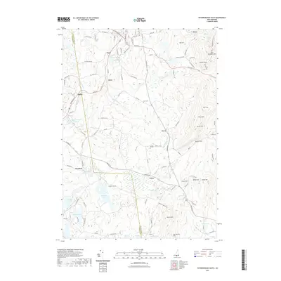
2021 Map of Peterborough South
USGS Topo · Published 2021About this map
Sharon sits at the heart of this landscape, where the high ridges of the Wapack Range divide the watershed. The terrain is defined by significant elevations like Pack Monadnock Mtn and Barrett Mtn, with the historic Wapack Trail North-Tri tracing the spine of these peaks. Below the summits, the land is punctuated by several small, isolated settlements such as Wilder, Drury, and Noone, reflecting the historical development of small upland communities in southern New Hampshire.
Find a feature on this map
59 named features on this map. Tap any name to fly to it.
Don’t see what you’re looking for? This feature index may not catch every label — zoom into the map to look around manually.
Map Details
Editions of this 2021 Peterborough South Map
This is the sole edition of this map. No revisions or reprints were ever made.
Other maps of this area

1887 · Winchendon
USGS Topo · 1:62,500

1887 · Fitchburg
USGS Topo · 1:62,500

1889 · Fitchburg
USGS Topo · 1:62,500

1890 · Winchendon
USGS Topo · 1:62,500

1893 · Fitchburg
USGS Topo · 1:62,500

1894 · Winchendon
USGS Topo · 1:62,500

1898 · Monadnock
USGS Topo · 1:62,500

1900 · Peterboro
USGS Topo · 1:62,500

1931 · Fitchburg
USGS Topo · 1:48,000

1932 · Winchendon
USGS Topo · 1:48,000