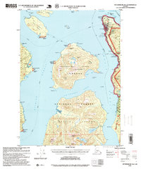
1995 Map of Petersburg B-2
USGS Topo · Published 1999About this map
Wrangell serves as the primary hub of activity along the Zimovia Strait, anchored by its Wrangell Airport, Hospital, and localized infrastructure like the Sewage Disposal Plant and Sanitary Landfill. The settlement pattern reflects a maritime and resource-dependent economy, with a Quarry and Rifle Range situated on the periphery of the town. Further south, the Shoemaker Bay Recreation Area and various boat ramps emphasize the community's connection to the water.
Find a feature on this map
71 named features on this map. Tap any name to fly to it.
Don’t see what you’re looking for? This feature index may not catch every label — zoom into the map to look around manually.
Map Details
Editions of this 1995 Petersburg B-2 Map
This is the sole edition of this map. No revisions or reprints were ever made.
Other maps of this area

1948 · Petersburg A-1
USGS Topo · 1:63,360

1948 · Petersburg A-2
USGS Topo · 1:63,360

1948 · Petersburg C-1
USGS Topo · 1:63,360

1948 · Petersburg C-2
USGS Topo · 1:63,360

1948 · Petersburg B-2
USGS Topo · 1:63,360

1948 · Petersburg B-1
USGS Topo · 1:63,360

1948 · Petersburg C-3
USGS Topo · 1:63,360

1948 · Petersburg B-3
USGS Topo · 1:63,360

1949 · Petersburg A-3
USGS Topo · 1:63,360

1951 · Petersburg B-3
USGS Topo · 1:63,360