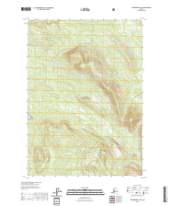
2021 Map of Petersburg D-5 SW
USGS Topo · Published 2021About this map
Tongass National Forest covers this coastal expanse of Southeast Alaska, where the high ridges of Greeberg Mountain and Crash Ridge overlook the intricate shoreline of the Alexander Archipelago. The landscape is defined by the proximity of high terrain to the tidal waters of Keku Strait and the sheltered Big John Bay. This 2021 survey illustrates a region largely characterized by its natural topography and drainage systems, including the headwaters of Hamilton Creek and the southern reaches of Big John Creek. Access to the interior is limited, primarily represented by the Big John Bay Trl, which connects the bay to the upland areas near Marble Knobs. The map highlights the intersection of the Prince of Wales-Hyder Census Area and the Petersburg Borough, providing a clear view of how these administrative lines traverse the wilderness near Irish Cr.
Find a feature on this map
28 named features on this map. Tap any name to fly to it.
Don’t see what you’re looking for? This feature index may not catch every label — zoom into the map to look around manually.
Map Details
Editions of this 2021 Petersburg D-5 SW Map
This is the sole edition of this map. No revisions or reprints were ever made.
Other maps of this area

1948 · Petersburg D-6
USGS Topo · 1:63,360

1948 · Petersburg C-6
USGS Topo · 1:63,360

1948 · Petersburg C-5
USGS Topo · 1:63,360

1948 · Petersburg D-5
USGS Topo · 1:63,360

1951 · Petersburg D-6
USGS Topo · 1:63,360

1951 · Petersburg C-5
USGS Topo · 1:63,360

1952 · Petersburg
USGS Topo · 1:250,000

1960 · Petersburg
USGS Topo · 1:250,000
1995 · Petersburg D-6
USGS Topo · 1:63,360
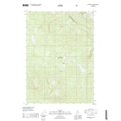
2017 · Petersburg C-5 NW
USGS Topo · 1:25,000