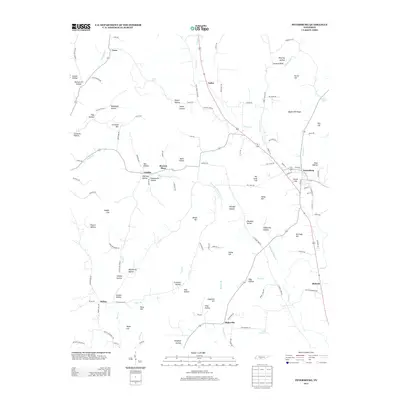
2013 Map of Petersburg
USGS Topo · Published 2013About this map
Petersburg anchors this Central Tennessee landscape, where the convergence of Cane Cr and Sanders Cr defines the local geography. The area is characterized by a high density of named topographic features, particularly family-named hollows and hills that suggest a long-established rural community structure. From Wakefield Hollow to Larwood Hill, these labels provide essential data for genealogists tracing ancestral landholdings.
Find a feature on this map
124 named features on this map. Tap any name to fly to it.
Don’t see what you’re looking for? This feature index may not catch every label — zoom into the map to look around manually.
Map Details
Editions of this 2013 Petersburg Map
This is the sole edition of this map. No revisions or reprints were ever made.
Other maps of this area

1936 · Belfast
USGS Topo · 1:24,000

1936 · Cornersville
USGS Topo · 1:24,000

1936 · Lewisburg
USGS Topo · 1:24,000

1936 · Belleville
USGS Topo · 1:24,000

1936 · Boonshill
USGS Topo · 1:24,000

1936 · Petersburg
USGS Topo · 1:24,000

1936 · Bedford
USGS Topo · 1:24,000

1936 · Frankewing
USGS Topo · 1:24,000

1936 · Fayetteville
USGS Topo · 1:24,000

1944 · Shelbyville
USGS Topo · 1:100,000