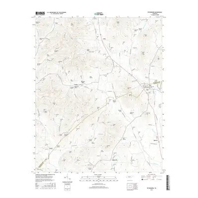
2016 Map of Petersburg
USGS Topo · Published 2016About this map
Petersburg sits at the intersection of Lincoln and Marshall counties, anchoring a landscape defined by the winding course of Cane Creek and its many tributaries like W Cane Cr and Middle Cane Cr. The town serves as a focal point for several historical transport routes, including the prominent Old Railroad Bed Rd, which traces a path of former industrial connectivity through the valley. The surrounding terrain is a complex arrangement of named ridges and hollows, such as Poplar Ridge, Porter Hill, and California Hollow, each housing small family or community burial grounds that speak to the long-standing settlement of the area.
Find a feature on this map
164 named features on this map. Tap any name to fly to it.
Don’t see what you’re looking for? This feature index may not catch every label — zoom into the map to look around manually.
Map Details
Editions of this 2016 Petersburg Map
This is the sole edition of this map. No revisions or reprints were ever made.
Other maps of this area

1936 · Belfast
USGS Topo · 1:24,000

1936 · Cornersville
USGS Topo · 1:24,000

1936 · Lewisburg
USGS Topo · 1:24,000

1936 · Belleville
USGS Topo · 1:24,000

1936 · Boonshill
USGS Topo · 1:24,000

1936 · Petersburg
USGS Topo · 1:24,000

1936 · Bedford
USGS Topo · 1:24,000

1936 · Frankewing
USGS Topo · 1:24,000

1936 · Fayetteville
USGS Topo · 1:24,000

1944 · Shelbyville
USGS Topo · 1:100,000