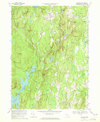
1969 Map of Petersham
USGS Topo · Published 1972About this map
The town of Petersham and the surrounding woodlands of the Harvard Forest define this landscape on the eastern edge of the Swift River Valley. By the late 1960s, the western portion of this area had been permanently altered by the creation of the Quabbin Reservoir, which inundated former lowlands. The map reveals the remains of settlements like Dana Center and Nichewaug, while the massive Quabbin Aqueduquct runs beneath the terrain toward the east. Family history is deeply rooted here, evidenced by numerous burial grounds such as West Street Cem, Coolidge Cem, and the Miles Holden Cem. Large tracts of protected land, including the Federation of Womens Clubs State Forest, contrast with the network of rural roads like Dugway Road and Hardwick Road that connect isolated farmsteads and hills like Camels Hump Hill and Raccoon Hill.
Find a feature on this map
93 named features on this map. Tap any name to fly to it.
Don’t see what you’re looking for? This feature index may not catch every label — zoom into the map to look around manually.
Map Details
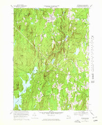
Editions of this 1969 Petersham Map
2 editions found
Other maps of this area

1887 · Warwick
USGS Topo · 1:62,500

1887 · Belchertown
USGS Topo · 1:62,500

1887 · Winchendon
USGS Topo · 1:62,500

1887 · Barre
USGS Topo · 1:62,500

1889 · Barre
USGS Topo · 1:62,500

1889 · Warwick
USGS Topo · 1:62,500

1890 · Belchertown
USGS Topo · 1:62,500

1890 · Winchendon
USGS Topo · 1:62,500

1893 · Belchertown
USGS Topo · 1:62,500

1894 · Winchendon
USGS Topo · 1:62,500