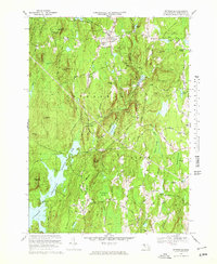
1969 Map of Petersham
USGS Topo · Published 1978About this map
Petersham and its surrounding highlands in central Massachusetts are defined here by a landscape of dense woods and protected water. This 1960s study captures the eastern edge of the Quabbin Reservoir, illustrating the profound impact of the reservoir on local geography, including the site of Dana Center. Significant tracts of the Harvard Forest and the Federation of Womens Clubs State Forest dominate the western terrain, reflecting a region deeply committed to silviculture and conservation.
Find a feature on this map
58 named features on this map. Tap any name to fly to it.
Don’t see what you’re looking for? This feature index may not catch every label — zoom into the map to look around manually.
Map Details
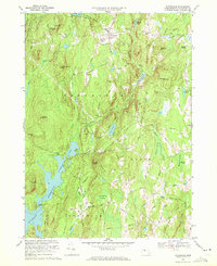
Editions of this 1969 Petersham Map
2 editions found
Other maps of this area

1887 · Warwick
USGS Topo · 1:62,500

1887 · Belchertown
USGS Topo · 1:62,500

1887 · Winchendon
USGS Topo · 1:62,500

1887 · Barre
USGS Topo · 1:62,500

1889 · Barre
USGS Topo · 1:62,500

1889 · Warwick
USGS Topo · 1:62,500

1890 · Belchertown
USGS Topo · 1:62,500

1890 · Winchendon
USGS Topo · 1:62,500

1893 · Belchertown
USGS Topo · 1:62,500

1894 · Winchendon
USGS Topo · 1:62,500