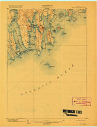
1904 Map of Petit Manan
USGS Topo · Published 1917About this map
Petit Manan Point and the jagged coastline of Down East Maine define this coastal survey, where the maritime economy of the early twentieth century is etched into every inlet. The map tracks the vital Steamboat Route connecting these isolated harbors, anchored by the critical beacons of Petit Manan L.H. and Narraguagus L.H. Small fishing villages and landings such as Corea and Norton punctuate a landscape of massive granite headlands and tidal flats. From the heights of Pigeon Hill and Eagle Hill, the terrain drops sharply into the interconnected waters of Gouldsboro Bay, Dyer Bay, and Narraguagus Bay. This era of coastal life is marked by numerous family-named landmarks like Joe Dyer Pt. and Rogers Pt., reflecting a deeply rooted local genealogy tied to the sea and the rocky peninsulas of Hancock and Washington counties.
Find a feature on this map
98 named features on this map. Tap any name to fly to it.
Don’t see what you’re looking for? This feature index may not catch every label — zoom into the map to look around manually.
Map Details
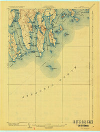
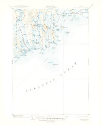
Editions of this 1904 Petit Manan Map
4 editions found
Other maps of this area

1902 · Cherryfield
USGS Topo · 1:62,500

1904 · Cherryfield
USGS Topo · 1:62,500

1904 · Bar Harbor
USGS Topo · 1:62,500

1904 · Petit Manan
USGS Topo · 1:62,500

1921 · Great Wass Island
USGS Topo · 1:62,500

1921 · Columbia Falls
USGS Topo · 1:62,500

1930 · Tunk Lake
USGS Topo · 1:48,000

1932 · Tunk Lake
USGS Topo · 1:62,500

1941 · Columbia Falls
USGS Topo · 1:62,500

1942 · Bar Harbor
USGS Topo · 1:62,500