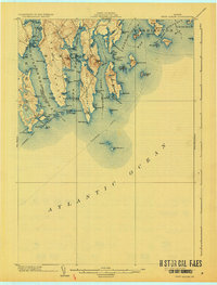
1904 Map of Petit Manan
USGS Topo · Published 1932About this map
Petit Manan Point and the complex jagged coastlines of Steuben, Harrington, and Addison define this coastal survey at the turn of the century. The map illustrates a maritime-dependent landscape where a designated Steamboat Route passes south of Petit Manan I, which is marked by the Petit Manan I L H lighthouse. The deep indentations of Gouldsboro Bay and Dyer Bay reach inland, separated by landmasses like Dyer Neck.
Find a feature on this map
90 named features on this map. Tap any name to fly to it.
Don’t see what you’re looking for? This feature index may not catch every label — zoom into the map to look around manually.
Map Details
Editions of this 1904 Petit Manan Map
4 editions found
Other maps of this area

1902 · Cherryfield
USGS Topo · 1:62,500

1904 · Cherryfield
USGS Topo · 1:62,500

1904 · Bar Harbor
USGS Topo · 1:62,500

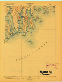
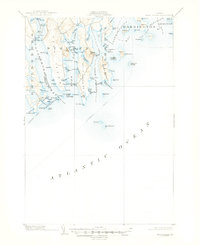
1904 · Petit Manan
USGS Topo · 1:62,500

1921 · Great Wass Island
USGS Topo · 1:62,500

1921 · Columbia Falls
USGS Topo · 1:62,500

1930 · Tunk Lake
USGS Topo · 1:48,000

1932 · Tunk Lake
USGS Topo · 1:62,500

1941 · Columbia Falls
USGS Topo · 1:62,500

1942 · Bar Harbor
USGS Topo · 1:62,500